
Local time Monday 2:22 PM | ||
 | ||
Weather 8°C, Wind W at 18 km/h, 79% Humidity | ||
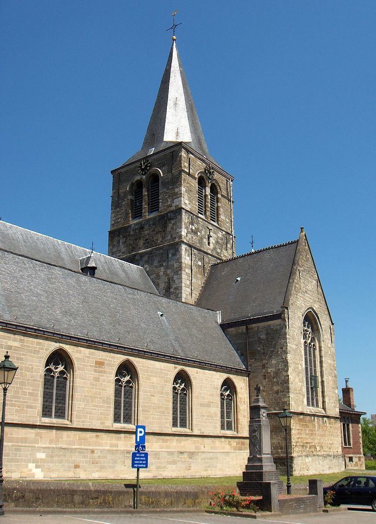
Denderhoutem is a village, located in the Denderstreek in the Flemish province of East Flanders (Belgium). Since 1977 it is part of the municipality of Haaltert.
Contents
Map of Denderhoutem, 9450 Haaltert, Belgium
The arms show a garb, most likely a symbol for agriculture. The old seals of the local council, dating from the 15th and 16th century, showed a tree, with on the sides two small shields, one with the lion of Flanders, the other with the arms of Burgundy. Why the council in the early 19th century applied for the garb instead is not known.
Events
References
Denderhoutem Wikipedia(Text) CC BY-SA