
 | ||
Name meaning "the ruin of the monastery of the man of Rai" Weather 10°C, Wind NE at 13 km/h, 60% Humidity | ||
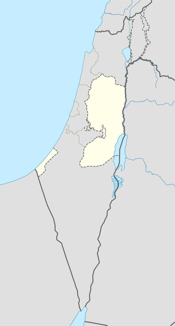
Deir Razih (Arabic: دير رازح) is a Palestinian village in the southern West Bank located 11 kilometers (6.8 mi) southwest of Hebron, in the Hebron Governorate. It relies mainly on nearby Dura for basic services. Its total land area is made of 540 dunams, including its built-up area.
Contents
Map of Dayr Razeh
Ottoman era
French explorer Victor Guérin visited the place in 1863, during the late Ottoman era. He described it as a ruin, with one structure larger than the rest above an underground magazine.
In 1883, the Palestine Exploration Fund's Survey of Western Palestine found "walls, cisterns and caves. Rock-cut tombs to the east" of the village.
British Mandate era
At the time of the 1931 census of Palestine the population of Kh. Dair Razih was counted under Dura.
Post 1967
In the summer of 2007, a group of Israeli settlers from Otniel accompanied by soldiers and a bulldozers entered village lands and uprooted 150 olive, almond and pine trees. Having done this they, also, set fire to the land causing damage to crops and pastures. Fire brigades from the Palestinian municipalities of Dura and as as-Samu' extinguish the fires soon after.
Deir Razih had a population of 130 in 1961. In the 1997 census by the Palestinian Central Bureau of Statistics (PCBS), the village had a total population of 236, of which 11.9% were Palestinian refugees. By mid-year 2006, there were 328 inhabitants. However, the PCBS census of 2007 revealed that the population was 268. Deir Razih is inhabited by the extended families of Amru, Abu Arqub, Hija, and the al-Azazmeh Bedouins. Most residents depend on agriculture as main income.