
Palestine grid 178/152 | Population 3,986 (2007) | |
 | ||
Name meaning The monastery or house of Jerir Weather 12°C, Wind NE at 8 km/h, 58% Humidity | ||
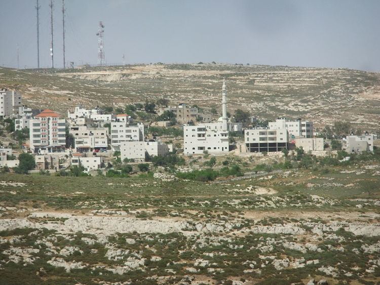
Deir Jarir (Arabic: دير جرير) is a Palestinian agricultural town in the Ramallah and al-Bireh Governorate in the central West Bank, located eleven kilometers (7 miles) northeast of Ramallah. It is situated on a hilltop overlooking the Jordan Valley at an elevation of 900 metres (2,950 ft). According to the Palestinian Central Bureau of Statistics (PCBS), Deir Jarir had a population of approximately 3,986 inhabitants in mid-year 2006.
Contents
Map of Dayr Jarir
It spreads along a large land area of 33,357 dunams (33.357 km2), of which 17.2% is under the civil jurisdiction of the Palestinian National Authority (PNA), while the remainder is under Israeli military control. Most of the land administered by the PNA is the city's built-up area and most of Deir Jarir's cultivated lands are grown with grape vines and fig and olive trees. Open-spaces make-up 76% of the town's area.
History
The village name means The monastery, or house of Jerir, named after the celebrated Arab poet Jarir.
Ottoman era
In 1517, Deir Jarir was incorporated into the Ottoman Empire with the rest of Palestine, and in 1596 it appeared (with the name Dar Jarir) in the tax registers as being in the nahiya of Quds in the liwa of Quds. It had a population of 23 households, all Muslim. Taxes were paid on wheat, barley, olives, vineyards, fruit trees, occasional revenues, goats and/or bee hives.
The French explorer Victor Guérin visited the village in the 1860s, and he found it having about 200 inhabitants. In 1882, the Palestine Exploration Fund's Survey of Western Palestine described Dar Jerir as "A village of moderate size, with ancient tombs to the south, and a spring to the west; a few olives on the same side."
British Mandate era
In the 1922 census of Palestine, conducted by the British Mandate authorities, the village, named Dair Ijreer, had a population of 739, all Muslim. In the 1931 census the population of Deir Jarir was a total of 847, still entirely Muslim, in 172 inhabited houses.
In 1945 the population of Deir Jarir was 1,080, all Arabs, who owned 33,161 dunams (33.2 km2; 12.8 sq mi) of land according to an official land and population survey. 3,091 dunams were plantations and irrigable land, 6,499 used for cereals, while 40 dunams (4.0 ha; 9.9 acres) were built-up (urban) land.
1948-1967
In the wake of the 1948 Arab–Israeli War, and after the 1949 Armistice Agreements, Deir Jarir came under Jordanian rule.
1967-present
After the Six-Day War in 1967, Deir Jarir has been under Israeli occupation. In September 2005, hundreds of armed residents from Deir Jarir attacked the nearby town of Taybeh, which was provoked by a family feud. The feud was caused by a Christian man from Taybeh allegedly having intimate relations with a Muslim woman from Deir Jarir. The attack left 13 houses burnt, and three men were arrested (two from Deir Jarir and one from Taybeh). Despite the incident, the neighboring towns continue to have healthy relations; residents say "the people of Taybeh and the people of Deir Jarir are one family".