
 | ||
Sar davis strait res d troit de davis
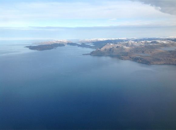
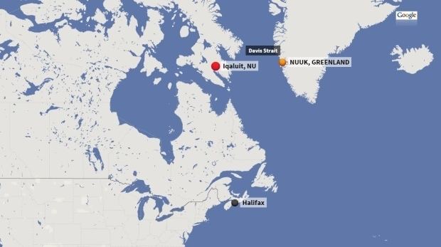
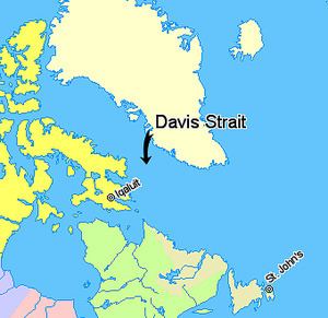
Davis Strait (French: Détroit de Davis) is a northern arm of the Labrador Sea. It lies between mid-western Greenland and Nunavut, Canada's Baffin Island. To the north is Baffin Bay. The strait was named for the English explorer John Davis (1550–1605), who explored the area while seeking a Northwest Passage. By the 1650s it was used for whale hunting.
Contents
Pb davis strait
Extent
The International Hydrographic Organization defines the limits of the Davis Strait as follows:
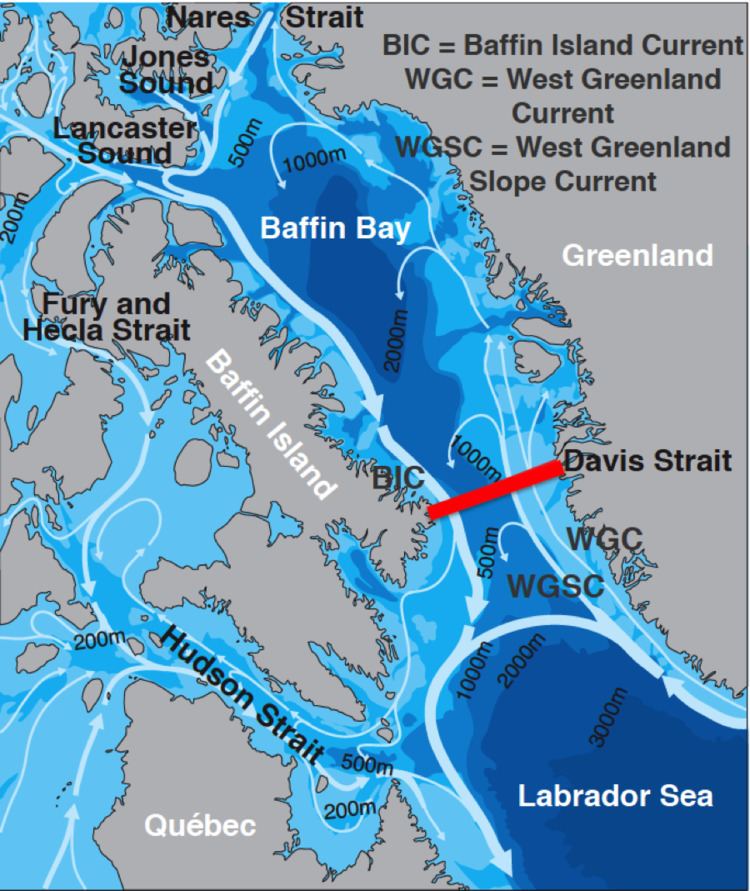
On the North. The Southern limit of Baffin Bay [The parallel of 70° North between Greenland and Baffin Land].
On the East. The Southwest coast of Greenland.
On the South. The parallel of 60° North between Greenland and Labrador.
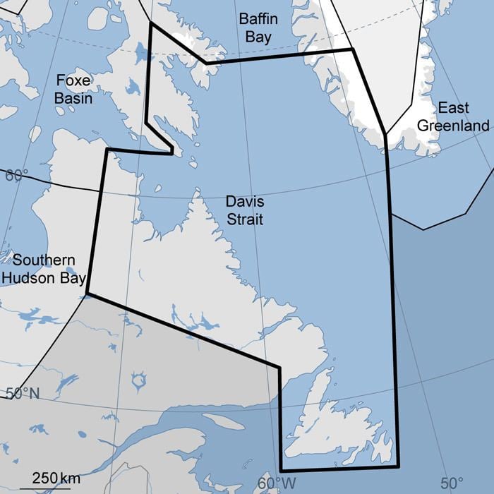
On the West. The Eastern limit of the Northwestern Passages South of 70° North [the East coast of Baffin Island to East Bluff, its Southeastern extremity] and of Hudson Strait [A line from East Bluff, the Southeast extreme of Baffin Island (61°53′N 65°57′W), to Point Meridian, the Western extreme of Lower Savage Islands, along the coast to its Southwestern extreme and thence a line across to the Western extreme of Resolution Island, through its Southwestern shore to Hatton Headland, its Southern point, thence a line to Cape Chidley, Labrador (60°24′N 64°26′W)].
Geology
The Davis Strait is underlain by complex geological features of buried grabens (basins) and ridges, probably formed by strike-slip faulting during Paleogene times about 45 million to 62 million years ago. The strike-slip faulting transferred plate-tectonic motions in the Labrador Sea to Baffin Bay. It is the world's broadest strait.
Depth
With a water depth of between one and two thousand meters the strait is substantially shallower than the Labrador Sea to the south or Baffin Bay to the north.
Tides
The strait is famous for its fierce tides that can range from 30 to 60 ft (9.1 to 18.3 m), which discouraged many earlier explorers.
Oil and gas
US Geological Survey has estimated that at least 13% of the worlds undiscovered oil deposits and 30% of the worlds undiscovered gas pockets are located in the Arctic, with the seas around Greenland potentially holding large amounts of natural gas and lesser amounts of crude oil and natural gas liquids. This has led the Greenland's minister and provincial council to offer a large number of off-shore concessions to potential hydrocarbon (oil and gas) extraction. The largest concessions areas are located in seas west of Greenland; primarily the Davis Strait and Baffin Bay, but with several smaller concessions in the Greenland Sea in the east also.