
Elevation 2,469 m Population 4,726 (2009) | Time zone UTC +5 Local time Saturday 2:57 AM | |
 | ||
Weather -14°C, Wind SW at 8 km/h, 76% Humidity | ||
Daroot-Korgon (also Darautkorgon or Daroot-Qurghan) is a village in the western Alay Valley of Osh Region, Kyrgyzstan. It is the capital of Chong-Alay District. Its population was 4,726 in 2009. It is about 90 km west of Sary-Tash on the Kyzyl-Suu River. To the north is a route to Osh via the Tengizbay pass, used by Russian explorers before the construction of the road though Sary-Tash.
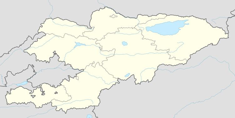
Map of Daroot-Korgon, Kyrgyzstan
To the south, the Altyn River flows north though a deep valley in the Trans-Alay Range. At the head of the valley is a Tajik border post and then Altyn Mazar on the Muksu River which flows west to join the Kyzyl-Suu. South of this is the foot of the Fedchenko Glacier.
The village of Kara-Shivak is 2 miles (4 km) to the south, and Kara-Su is 3 miles (4 km) to the east.
Aurel Stein suggested that this was the location of the 'stone pillar' that Ptolemy said was the place where caravans from the Chinese and Roman Empires met and exchanged goods