
District Alay District Time zone KGT (UTC+6) Local time Thursday 4:53 AM | Established 1950 Elevation 3,170 m Population 1,427 (2009) | |
 | ||
Weather -6°C, Wind SW at 11 km/h, 72% Humidity | ||
26julio2013 sary tash kirguist n murghab tayikist n bmw r1200gs adventure
Sary-Tash is a village and major crossroads in the Alay Valley of Osh Region, Kyrgyzstan. Its population was 1,427 in 2009. Nearby towns and villages to the north include Ak-Bosogo (5 miles) and Chagyr (9 miles).
Contents
- 26julio2013 sary tash kirguist n murghab tayikist n bmw r1200gs adventure
- Map of Sary Tash Kyrgyzstan
- References
Map of Sary-Tash, Kyrgyzstan
Although this remote village has only some shop-cafes, a petrol station and five guest houses (March 2016), it is an important road junction. Its name is derived from Turkic roots meaning "yellow-stone".
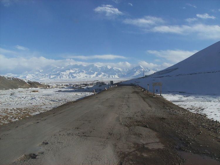
To the north, M41 goes Over the Taldyk Pass to Gulcha and Osh in the Ferghana Valley. One travel guide describes this as spectacular and one of the most beautiful drives in Kyrgyzstan. To the south, after leaving the Alay Valley the M41 deteriorates quickly and rises to the 4280m Kyzylart Pass into Tajikistan. This route requires considerable preparation and paper work. The route is little used and there are few services between Sary-Tash and Murgab. This is part of the Pamir Highway. Fifty miles to the east on A371 is the Irkestam pass into Xinjiang, China. To the west, A372 leads down the Alay Valley. The pass at the west end is closed to foreigners.