
Elevation 1,372 m (4,501 ft) Area 17,410 km² | Local time Saturday 12:25 AM | |
 | ||
Country People's Republic of China Weather -4°C, Wind SW at 13 km/h, 53% Humidity | ||
Darhan Muminggan United Banner (Mongolian: ᠳᠠᠷᠬᠠᠨ ᠮᠤᠤᠮᠢᠩᠭ᠋ᠠᠨ ᠬᠣᠯᠪᠣᠭᠠᠲᠤ ᠬᠣᠰᠢᠭᠤ Дарқан Мууминан Қолбоату қосиу Darqan Muumiŋɣan Qolboɣatu qosiɣu; simplified Chinese: 达尔罕茂明安联合旗; traditional Chinese: 達爾罕茂明安聯合旗; pinyin: Dá'ěrhǎn Màomíng'ān Liánhé Qí) is a banner of west-central Inner Mongolia, People's Republic of China. It is under the administration of Baotou City, 125 kilometres (78 mi) to the south-southwest.
Contents
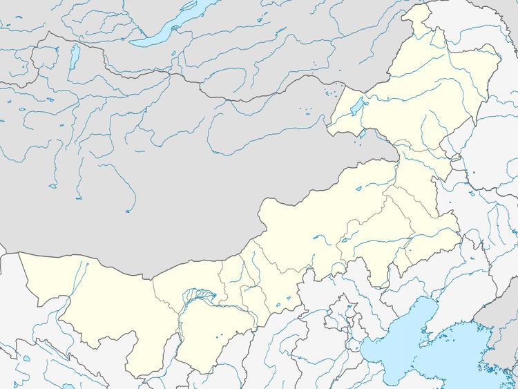
Map of Darhan Muminggan, Baotou, Inner Mongolia, China
Climate
Darhan Banner has a monsoon-influenced, continental semi-arid climate (Köppen BSk), barely avoiding arid designation, with very cold and dry winters, hot, somewhat humid summers, and strong winds, especially in spring. The monthly 24-hour average temperature ranges from −14.5 °C (5.9 °F) in January to 21.1 °C (70.0 °F) in July, with the annual mean at 4.23 °C (39.6 °F). The annual precipitation is 256 millimetres (10.08 in), with more than half of it falling in July and August alone. There are 3,164 hours of bright sunshine annually, with each of the winter months having over 70% of the possible total, and this percentage falling to 58 in July.