
Topo map USGS Dardanelles Cone Prominence 421 m Parent range Sierra Nevada | Elevation 2,904 m Mountain range Sierra Nevada | |
 | ||
Similar Leavitt Peak, Sonora Peak, Red Lake Peak, Freel Peak, Matterhorn Peak | ||
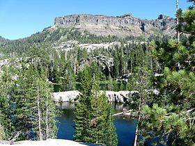
Dardanelles Cone is a mountain peak in the Carson-Iceberg Wilderness on the Stanislaus National Forest. It lies near Sonora Pass in the Sierra Nevada of California. It is between State Route 4 and State Route 108.
Map of Dardanelles Cone, California 95223, USA
References
Dardanelles Cone Wikipedia(Text) CC BY-SA