
Airport type Public Elevation AMSL 559 ft / 170 m 3,000 914 Phone +1 434-799-5110 | 9/27 3,000 Elevation 170 m | |
 | ||
Owner Montour & Northumberland Cmsn. Address 903 Sunbury Rd, Danville, PA 17821, USA Similar Villager Realty - Inc Danville, Century 21 Mertz & Associate, Northumb County Airport N79, Coldwell Banker Fleck Age, Pennsylv SPCA Central P | ||
Flight at danville airport
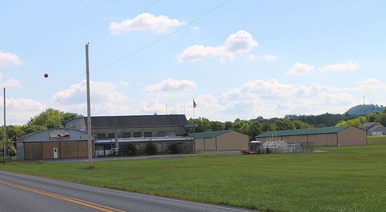
Danville Airport (FAA LID: 8N8) is a public use airport in Northumberland County, Pennsylvania, United States. It is located three nautical miles (6 km) southwest of the central business district of Danville, a borough in Montour County. The airport is owned by the Montour & Northumberland County Commissioners.
Contents
B street s2000 at brr scca autocross danville airport 6 21 15
Facilities and aircraft
Danville Airport covers an area of 114 acres (46 ha) at an elevation of 559 feet (170 m) above mean sea level. It has one asphalt paved runway designated 9/27 which measures 3,000 by 60 feet (914 x 18 m).
The airport previously had two turf runways: 9/27 which measured 2,140 by 350 feet (652 m × 107 m) (located north of the new 9/27 asphalt runway) and 15/33 measuring 2,170 by 198 feet (661 m × 60 m).
For the 12-month period ending August 6, 2008, the airport had 30,000 general aviation aircraft operations, an average of 82 per day. At that time there were 38 aircraft based at this airport, all single-engine.