Status Operational Construction began 1958 | Opening date 1965 | |
 | ||
Official name Dantiwada Water Resources Project Purpose Irrigation & water supply Similar Dharoi dam, Kolkewadi Dam, Basava Sagara, Kodasalli Dam, Ukai Dam | ||
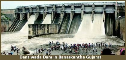
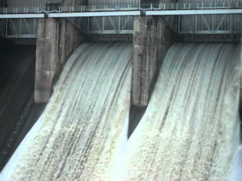
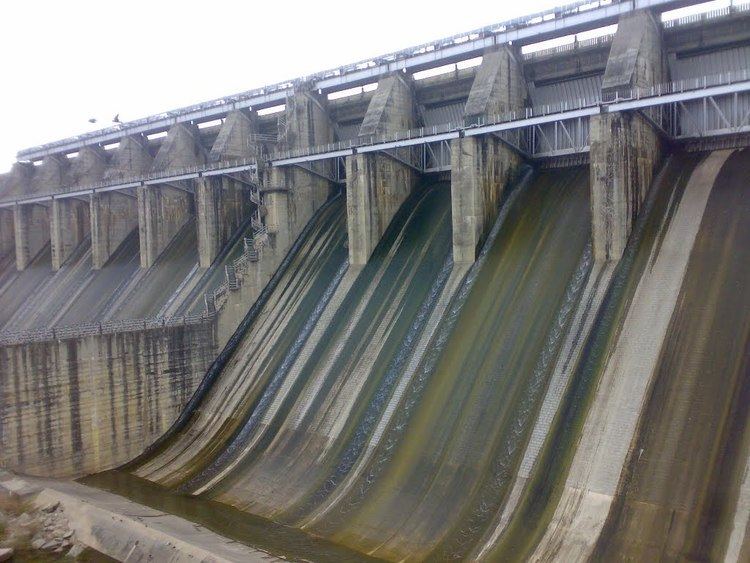
Dantiwada dam overflow due to heavy rain at gujarat
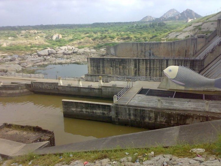
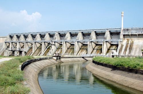
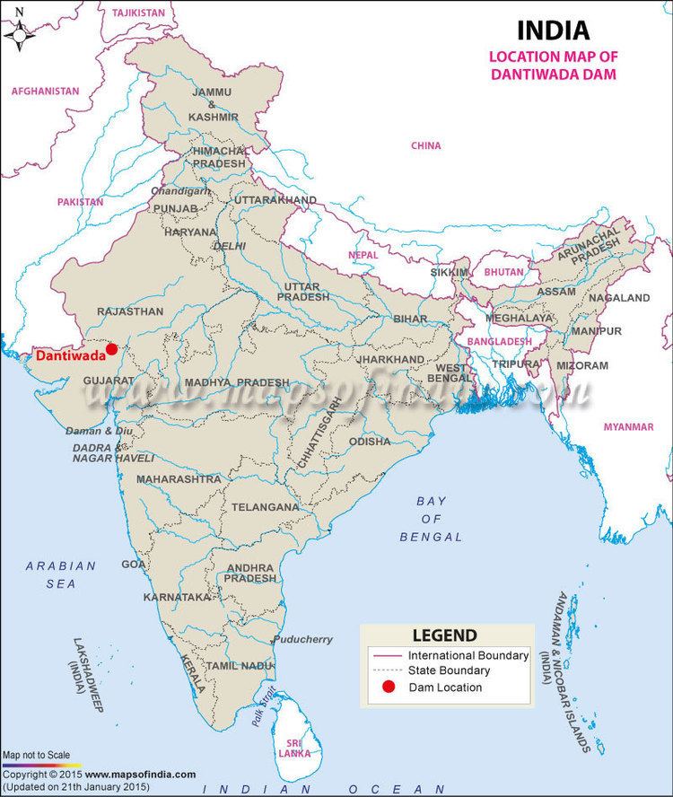
The Dantiwada Dam is a mud and masonry dam on the West Banas River near Dantiwada, Banaskantha district of northern Gujarat in India. The dam was constructed in 1965 mainly for irrigation and flood control.
Contents
111 total villages are under command of the Dantiwada Dam, of which 12 villages are partially submerged. Total land submerged under the reservoir include 1,215 hectares (3,000 acres; 4.69 sq mi) forest land, 810 hectares (2,000 acres; 3.1 sq mi) wasteland, 2,025 hectares (5,000 acres; 7.82 sq mi) cultivable land.
It irrigated 50,284 hectares (124,250 acres; 194.15 sq mi) in 1994-95.
The Dantiwada Dam failed in 1973, 8 years after it was constructed.
On April 10, 2015, Gujarat Chief Minister dedicated Rs. 110 crore to the Dantiwada Dam oriented group water supply project benefiting 123 villages of 3 talukas.
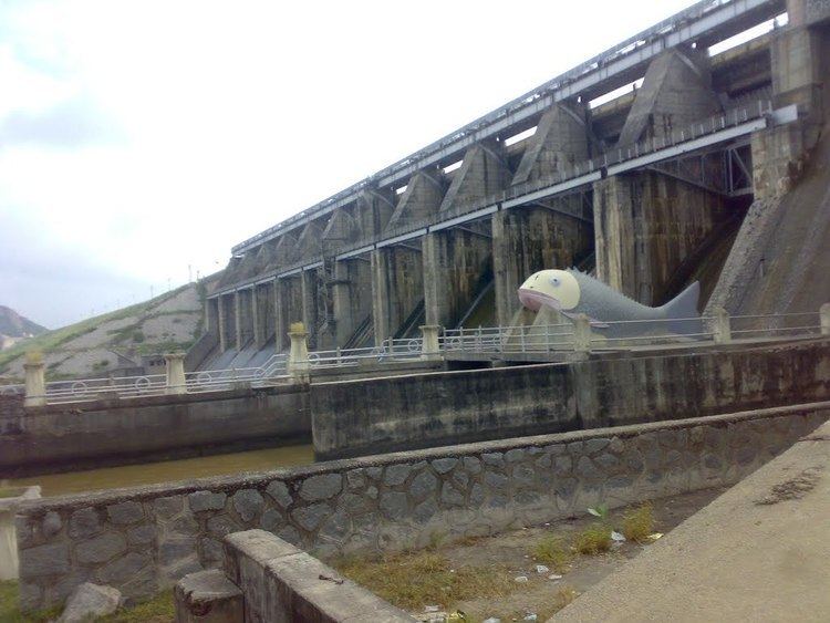
Dantiwada dam