
Highest elevation 92 ft (28 m) | ||
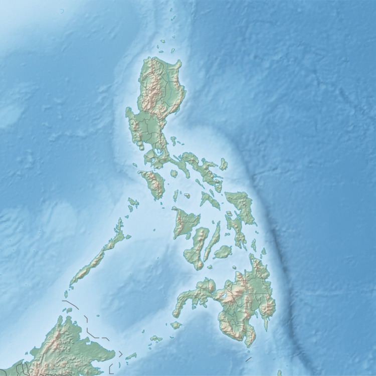 | ||
Danao-Danao Island (variously Danao Danao island, Danao Island, Dunad Island, Dunao Island or Dunao Islet) is a small, low-lying island in northeastern Iloilo, Philippines. It is part of the municipality of Concepcion.
Contents
Map of Danao-danao Island, Concepcion, Philippines
Location and geography
Danao-Danao Island is 10.1 kilometres (6.3 mi) east of Panay Island in the Visayan Sea. Part of the Concepcion Islands, it is separated from nearby Bulubadiangan Island by a small reef. Danao-Danao is 92 feet (28 m) at its highest point.
Typhoon Haiyan
In 2013, Typhoon Haiyan (locally known as Yolanda) Passed over Danao-Danao, damaging boats and homes. Rather than evacuate, some villagers stayed behind during the storm, in order to protect their boats. Four men went missing as a result.
References
Danao-Danao Island Wikipedia(Text) CC BY-SA