
Country United States County Paulding ZIP codes 30132, 30157 Elevation 318 m Population 12,415 (2013) | Time zone Eastern (EST) (UTC-5) Area code(s) 770/678/470 Area 11.7 km² Local time Wednesday 11:19 PM | |
 | ||
Weather 9°C, Wind S at 0 km/h, 56% Humidity | ||
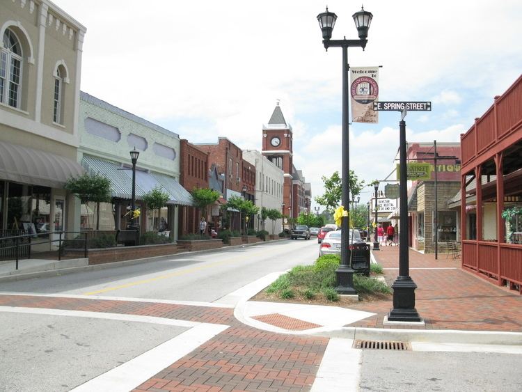
Dallas georgia
Dallas is a city in and the county seat of Paulding County, Georgia, United States. As of the 2014 census, the city had a population of 22,604. The estimated population, as of 2010, was 12,629. Dallas is a northwestern suburb of Atlanta, located approximately 30 miles from downtown. It was named for George M. Dallas, Vice President of the United States of America, under James K. Polk.
Contents
- Dallas georgia
- Map of Dallas GA USA
- History
- Television
- Geography
- Climate
- Demographics
- Paulding County School District
- Notable people
- Recreation
- References
Map of Dallas, GA, USA
History
Dallas was designated the new county seat in 1852 by the inferior court of the county. It was incorporated by an act of the Georgia General Assembly on February 8, 1854, on 40 acres (160,000 m2) purchased from Garrett H. Spinks on May 14, 1852, for $1000. Its first commissioners were James H. Ballinger, James S. Hackett, Hezekiah Harrison, John S. Poole, and Garrett H. Spinks.
In the late 1850s the town no longer elected officers and a new charter was issued in 1883. The Battle of New Hope Church (May 25-28, 1864) took place four miles from Dallas.
For many years the real WKRP was in Dallas, just to the west of the center of downtown.
Television
Comcast Channel 24 airs news, information, upcoming event descriptions, dates and times, and photos of other events. The government-access television (GATV) cable TV channel provides key information to residents of Dallas and Paulding County. It also airs shorts on how to conserve water and electricity as well as messages from the mayor and other city board members.
Geography
Dallas is located at 33°55′7″N 84°50′27″W (33.918499, -84.840848).
According to the United States Census Bureau, the city has a total area of 4.5 square miles (12 km2), of which, 4.5 square miles (12 km2) of it is land and 0.04 square miles (0.10 km2) of it (0.66%) is water.
Dallas is part of the Deep South region.
Climate
Dallas has a humid subtropical climate that is local to all of Georgia. The average yearly precipitation is 54.43 inches (1,383 mm). Snow flurries occasionally fall in the winter months, when there is the presence of a deep trough in the jet stream over the eastern third of the United States. Although at times significant amounts of snowfall have been recorded, some years have no measurable snowfall. The Storm of the Century (1993) in March 1993 brought 17.5 inches to Dallas, with drifts measuring several feet. Drought is frequent in Dallas, as well as the rest of the Southeastern United States. The coldest temperature ever recorded in Dallas was -12F (-24C) in 2010. The warmest temperature ever recorded was 110F (43C) in 2012.
Demographics
As of the census of 2014, there were 12,629 people, 2,014 households, and 1,303 families residing in the city. The population density was 1,120.7 people per square mile (432.8/km²). There were 2,150 housing units at an average density of 476.5 per square mile (184.1/km²). The racial makeup of the city was 61.1% White, 31.2% African American, 0.4% Native American, 1.32% Asian, 0.02% Pacific Islander, 0.89% from other races, and 3.1% from two or more races. Hispanic or Latino of any race were 7.2% of the population. 56.2% were non-Hispanic White (U.S.Census). 11.7% of the population was foreign born as of 2014 (U.S. Census). There were 4,970 households out of which 37.3% had children under the age of 18 living with them, 43.0% were married couples living together, 27.6% had a female householder with no husband present, and 35.3% were non-families. 30.2% of all households were made up of individuals and 10.3% had someone living alone who was 65 years of age or older. The average household size was 2.86 and the average family size was 3.01. The median value of owner-occupied housing units between 2010-2014 was $110,200 (U.S.Census).
In the city, the population was spread out with 29.7% under the age of 18, 12.1% from 18 to 24, 32.3% from 25 to 44, 14.8% from 45 to 64, and 12.4% who were 65 years of age or older. The median age was 29 years. For every 100 females there were 83.0 males. For every 100 females age 18 and over, there were 74.8 males.
The median income for a household in the city was $33,750, and the median income for a family was $38,308. Males had a median income of $30,245 versus $21,747 for females. The per capita income for the city was $18,461. About 19.8% of families and 23.7% of the population were below the poverty line, including 17.3% of those under age 18 and 13.3% of those age 65 or over.
Paulding County School District
The Paulding County School District holds pre-school to grade twelve, and consists of nineteen elementary schools, nine middle schools, and five high schools. The district has 1,212 full-time teachers and over 19,283 students.
Notable people
Recreation
Photo's