
PIN 784116 Elevation 48 m | Time zone IST (UTC+5:30) Vehicle registration AS-13 Local time Thursday 8:05 AM | |
 | ||
Weather 19°C, Wind E at 8 km/h, 68% Humidity | ||
For the train station named Dalgaon -DLO, see Birpara
Contents
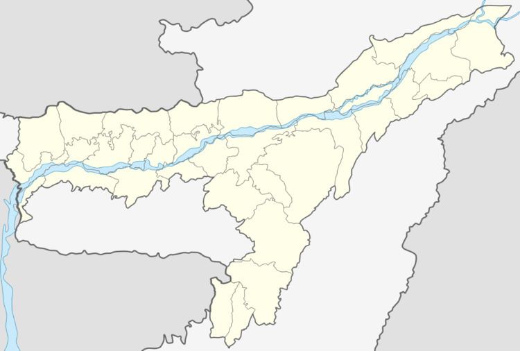
Map of Dalgaon, Assam 784116
Dalgaon is a town in Darrang district, Assam, India. Dalgaon is one of the most populated places of the state Assam. Some 93.82% of the total population are educated. It is one of the fastest-growing towns of the Assam. Approximately, 75% peoples are Muslims, 24.99% are Hindus are 0.01% are Christians.
Geography
It is located at an elevation of 48 m above MSL.
Location
National Highway 15 passes through Dalgaon.
Politics
References
Dalgaon Wikipedia(Text) CC BY-SA