
Country State Founded Government of Assam | Language spoken District | |
 | ||
Map of Mangaldoi
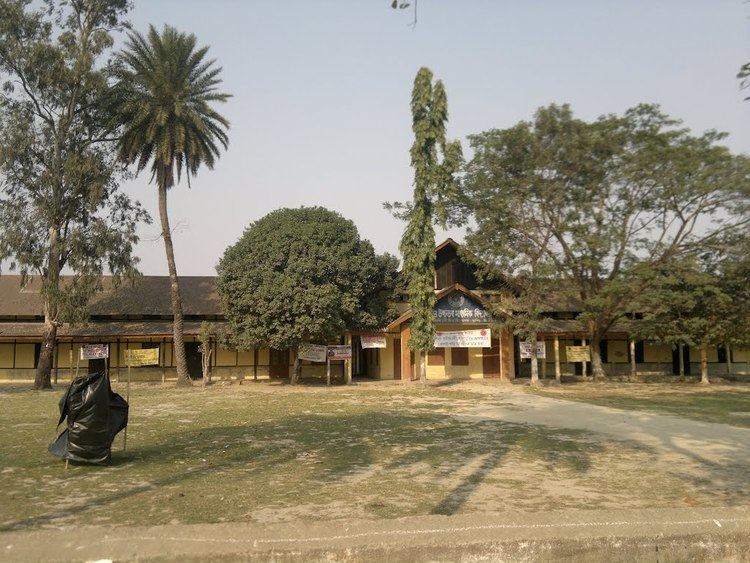
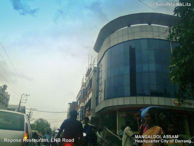
Mangaldai, ; also spelt Mangaldoi) is a city in the Indian state of Assam. It was named after Mangaldahi, who was the daughter of the Rajah of Darrang and was married to Pratap Singha , a ruler of the Ahom kingdom. Mangaldoi serves as the administrative headquarters of Darrang district.
Contents
Mangaldoi news
Geography
Mangaldoi is located at 26.43°N 92.03°E / 26.43; 92.03. It has an average elevation of 34 m (112 ft).
Situated at the north bank of Brahmaputra river, the city is approximately 65 km from Guwahati and 90 km from Tezpur.
Demographics
As of 2011 India census, Mangaldoi had a population of 42,946. Males constituted 52% of the population and females 48%. Mangaldoi had an average literacy rate of 81%, higher than the national average of 59.5%: male literacy was 85%, and female literacy was 76%. In Mangaldoi, 11% of the population was under 6 years of age.Majority of the people are Hindus with a minority Muslim,Christian,Jain and Sikh population
Governance
Mangaldoi is part of Mangaldoi (Lok Sabha constituency).
Gurujyoti Das of BJP is the present MLA of Mangaldoi. Ramen Deka of BJP is the present MP of Mangaldoi.