
Country Canada | Time zone MST (UTC-7) | |
 | ||
Snow kiting at dalemead lake alberta new year s eve
Dalemead is a hamlet in southern Alberta under the jurisdiction of Rocky View County.
Contents
- Snow kiting at dalemead lake alberta new year s eve
- Map of Dalemead AB Canada
- Dalemead kiting may 5 2016
- Demographics
- References
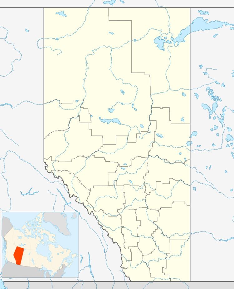
Map of Dalemead, AB, Canada
Dalemead is located approximately 35 km (21 mi) southeast of Downtown Calgary and 3.2 km (2.0 mi) south of Highway 22X along a Canadian Pacific Railway line.
Established in 1913 with the CPR line, Dalemead was originally named Strathmead but after some confusion with the nearby Town of Strathmore, the name was changed to Dalemead. The present name is derived from the nearby dale, and the last name of Dr. Ellwood Mead.
Dalemead kiting may 5 2016
Demographics
As a designated place in the 2016 Census of Population conducted by Statistics Canada, Dalemead recorded a population of 30 living in 13 of its 13 total private dwellings, a change of 7001154000000000000♠15.4% from its 2011 population of 26. With a land area of 0.1 km2 (0.039 sq mi), it had a population density of 300.0/km2 (777.0/sq mi) in 2016.
Rocky View County's 2013 municipal census counted a population of 27 in Dalemead, a -12.9% change from its 2006 municipal census population of 31.