
Elevation 1 m (3 ft) Time zone CLT (UTC-4) Area 1,239 km² | Demonym(s) Dalcahuino Area code(s) 56 + 65 Local time Wednesday 10:51 PM | |
 | ||
Weather 11°C, Wind NE at 13 km/h, 83% Humidity | ||
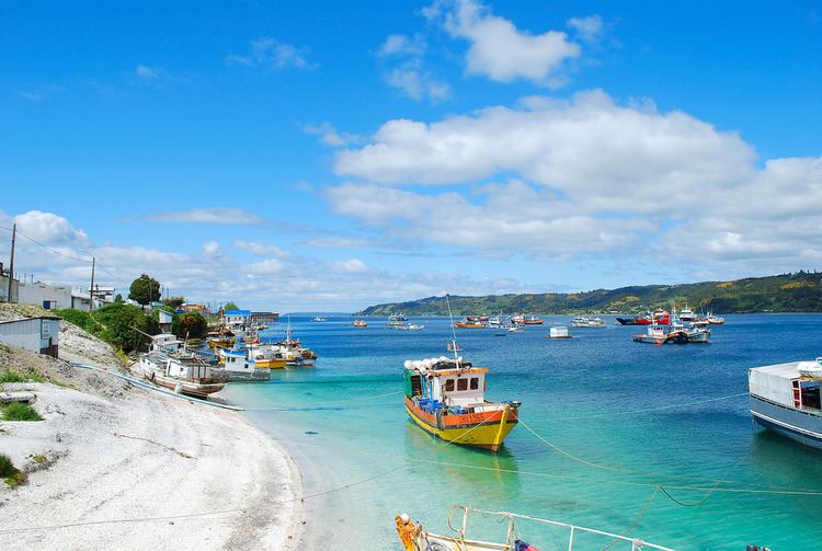
Chilo dalcahue isla chilo regi n de los lagos south of chile
Dalcahue [dalˈkawe] is a port town and a commune on Chiloé Island, Los Lagos Region, Chile.
Contents
- Chilo dalcahue isla chilo regi n de los lagos south of chile
- Map of Dalcahue Los Lagos Region Chile
- Paseo dalcahue isla de chiloe chile
- Demographics
- Administration
- Transportation
- References
Map of Dalcahue, Los Lagos Region, Chile
Paseo dalcahue isla de chiloe chile
Demographics
According to the 2002 census by the National Statistics Institute, the Dalcachue commune spans an area of 1,239.4 km2 (479 sq mi) and had 10,693 inhabitants; of these, 4,933 (46.1%) lived in urban areas and 5,760 (53.9%) in rural areas. At that time, there were 5,420 men and 5,273 women. The population grew by 37.7% (2,931 persons) between the 1992 and 2002 censuses.
Administration
As a commune, Dalcahue is a third-level administrative division of Chile administered by a municipal council, headed by an alcalde who is directly elected every four years. The 2008-2012 alcalde is Alfredo Hurtado Alvarez (PDC).
Within the electoral divisions of Chile, Dalcahue is represented in the Chamber of Deputies by Gabriel Ascencio (PDC) and Alejandro Santana (RN) as part of the 58th electoral district, (together with Castro, Ancud, Quemchi, Curaco de Vélez, Quinchao, Puqueldón, Chonchi, Queilén, Quellón, Chaitén, Hualaihué, Futaleufú and Palena). The commune is represented in the Senate by Camilo Escalona Medina (PS) and Carlos Kuschel Silva (RN) as part of the 17th senatorial constituency (Los Lagos Region).
Transportation
The city is served by the Mocopulli Airport that connects the Chiloé island with the rest of Chile