
Topo map USGS Cummings Mountain Prominence 378 m | Elevation 2,371 m | |
 | ||
Similar Breckenridge Mountain, Eagle Rest Peak, Antimony Peak, Burnt Peak, Frazier Mountain | ||
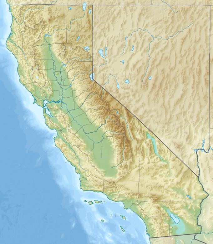
Cummings Mountain is a mountain located in the Tehachapi Mountains of central California.
Map of Cummings Mountain, California 93561, USA
It is located near the town of Tehachapi and State Route 58.
Due to the peaks elevation snow falls on the summit during the winter months.
References
Cummings Mountain (California) Wikipedia(Text) CC BY-SA