
- elevation 0 ft (0 m) Basin area 271.9 km² | Length 40 km Basin area 271.9 km² Country Puerto Rico | |
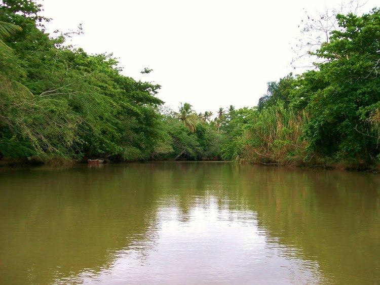 | ||
The Culebrinas River (Spanish: Río Culebrinas; pron. koo-le-BREE-nahs), is a river in northwest Puerto Rico. It originates in southwestern Lares and flows for 25 miles (40 km) till it empties into the Mona Passage south of downtown Aguadilla.
Contents
Map of R%C3%ADo Culebrinas, Puerto Rico
Variant names
History
Christopher Columbus is said to have anchored and come ashore near the mouth of the Culebrinas River in 1493. A stone cross monument was erected to mark the site, but it was destroyed by the 1918 Puerto Rico earthquake.
Flooding
In 2007, Tropical Storm Olga caused flooding on the river, forcing an evacuation.
References
Culebrinas River Wikipedia(Text) CC BY-SA