
OS grid reference SE013449 Sovereign state United Kingdom Postcode district BD20 Dialling code 01535 | Post town KEIGHLEY Local time Saturday 9:31 PM District Craven | |
 | ||
Weather 6°C, Wind S at 16 km/h, 88% Humidity | ||
Cross Hills is a village in the Craven district of North Yorkshire, England that is situated halfway between Skipton and Keighley.
Contents
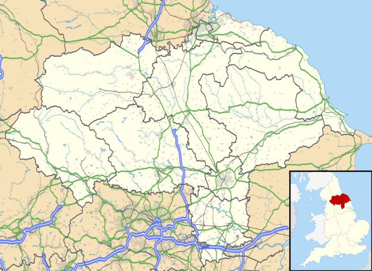
Map of Cross Hills, Keighley, UK
The village is at the centre of a built-up area that includes the adjoining settlements of Glusburn, Kildwick, Eastburn and Sutton-in-Craven. Cross Hills is part of Glusburn Civil Parish.
Geography
Cross Hills is in Airedale at a point where the River Aire bends east from its north-south course. The village lies on the south bank of the river just above the flood plain, which is wholly agricultural. As its name implies, Cross Hills is surrounded by the hills of the eastern Pennines including Steeton Moor (south-east), Cowling Moor (south-west), White Hill (north-west) and Kildwick Moor (north-east). There are views along the Aire Valley itself to the north and east. Rombalds Moor, between Silsden and Ilkley, is about six miles east of Cross Hills. Skipton is about four miles north and the hills of the Yorkshire Dales can be seen beyond it.
Immediately south-west of Cross Hills is Glusburn. Due north, on the other side of the River Aire is Kildwick. Sutton-in-Craven is less than a mile to the south-west and Eastburn less than a mile to the south-east. Cross Hills is separated from Sutton-in-Craven and Eastburn by the beck which flows into the Aire just east of Cross Hills. The beck is known by various names: Surgill Beck, Holme Beck and Eastburn Beck. It forms part of the county boundary between North and West Yorkshire as it approaches the Aire, Eastburn being in West Yorkshire.
Cross Hills is split by the Airedale Line of the former Midland Railway. The biggest part is south of the railway and is largely residential with most of the shops and restaurants on or near Main Street (the A6068). North of the railway, former farmland has been given over to light industry and commerce but with some residential property on Station Road which connects the A6068 and the A629.
History
The village originated as an outgrowth of the much older Glusburn (which is mentioned in the Domesday Book).
Cross Hills is overlooked by two monuments known as The Pinnacles – which take the form of small towers, standing on crags above Cowling Moor.
The Pinnacles are known colloquially as the "Salt Pot" and "Pepper Pot".
Communications
The village is close to the main A629 connecting Keighley and Skipton. The A6068 trans-Pennine route from Colne forms the village's Main Street and joins the A629 at the large roundabout between Cross Hills and nearby Kildwick. The A6068 forms Colne Road through Glusburn and becomes Main Street at the junction with Wheatlands Lane. This lane joins Park Road which climbs due west out of the village and provides routes to Cononley and Lothersdale. There are regular bus services between Keighley, Skipton, Burnley and Colne that all serve the village.
The local Kildwick and Crosshills railway station, opened in 1847, was closed in 1965. It was just off Station Road where the humpback bridge crosses the railway. The nearest station now is Steeton and Silsden two miles to the east.
Amenities
The village has a large health centre on Holme Lane and is only a mile or so from the Airedale NHS Trust hospital at Steeton with Eastburn in West Yorkshire. There is a public library and a police station. The largest secondary and sixth form college in the area, South Craven School, is located in Cross Hills off Holme Lane, which is the road from Cross Hills to Sutton-in-Craven. The local primary schools are in Sutton-in-Craven, Glusburn and Kildwick.
Cross Hills has no Church of England parish church of its own and is part of the parish of St Andrew's Church across the Aire in Kildwick. Cross Hills contains St Peter's Methodist Church, St Joseph's Catholic Church and South Craven Evangelical Church.
Cross Hills Football Club plays in the Craven and District Football League and Glusburn Cricket Club is also located in the area. The Cross Hills tennis and bowling club has three tennis courts and one bowling green.
Notable people
The Yorkshire and England cricketer Herbert Sutcliffe died in a Cross Hills nursing home on 22 January 1978, aged 83.
J. Arthur Dixon (1897–1958), founder of the eponymous manufacturer of greetings cards and postcards, was born at Cross Hills.