Topo map NTS 92J/01 Prominence 66 m | Elevation 2,496 m Age of rock 16.010617 million years | |
 | ||
Volcanic arc/belt Canadian Cascade ArcPemberton Volcanic Belt Similar Middle Finger, One Eye Peak, Mount Arthur, Mount Frederick William | ||
Albion online naraan crevasse crag gvg udl vs the gentlemen 08 31 16
Crevasse Crag is a jagged steep-sided prominence on the summit of a glaciated mountain ridge in the Lillooet Ranges of southwestern British Columbia, Canada. It is located about 49 km (30 mi) southeast of the village of Pemberton. Situated on the boundary between New Westminster Land District and Kamloops Division Yale Land District, the peak has a maximum elevation of 2,496 m (8,189 ft) and a topographic prominence of 66 m (217 ft).
Contents
- Albion online naraan crevasse crag gvg udl vs the gentlemen 08 31 16
- Map of Crevasse Crag Thompson Nicola I BC Canada
- References
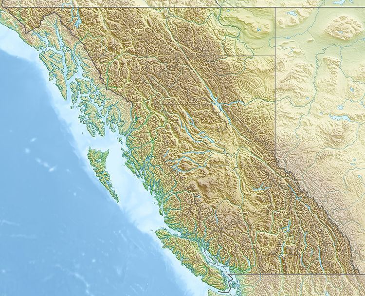
Map of Crevasse Crag, Thompson-Nicola I, BC, Canada
The name of the peak was adopted on March 31, 1969 as submitted by climber Christian Adam. It is named after the large crevasse directly below its north ridge. Prior to its adoption in 1969, Crevasse Crag was climbed by Adam et al. on August 16, 1967.
Technically, Crevasse Crag is the remains of an extinct volcano that formed during the onset of Pemberton Belt volcanism 16 million years ago. This activity produced breccias, tuffs and plagioclase-phyric flows, all of which form the present day edifice of Crevasse Crag. Analyses of major, trace and rare earth elements indicate that dacite, andesite and basaltic andesite lava flows form its lower flanks. These overlie Late Cretaceous and younger intrusive rocks that form the glaciated mountain ridge on which Crevasse Crag lies.
