
Population 4,598 (2011 Census) Sovereign state United Kingdom Dialling code 01342 | OS grid reference TQ345375 Local time Wednesday 2:46 AM | |
 | ||
Weather 8°C, Wind S at 18 km/h, 97% Humidity | ||
Glebelands crawley down crawley west sussex rh10 2 bed mews house for sale
Crawley Down is a village in the Mid Sussex district of West Sussex, England. There is one church, one school, and a number of social groups. It lies seven miles from Gatwick Airport. Nearest railway stations are Three Bridges and East Grinstead. Crawley Down lies in the northeast corner of West Sussex, just one mile from the border with Surrey.
Contents
- Glebelands crawley down crawley west sussex rh10 2 bed mews house for sale
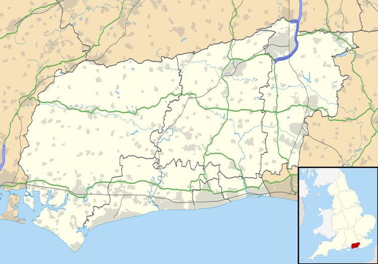
- Map of Crawley Down UK
- Historic Maps
- Sport and leisure
- References
Map of Crawley Down, UK
Crawley Down has a King George's Field in memorial to King George V.
Until 1967 the village was served by Grange Road railway station on the Three Bridges to Tunbridge Wells Central Line which closed as a result of the Beeching Axe in 1967. The old track bed has been revitalised as a linear Country Park called the Worth Way which now offers a haven for wildlife and valued trail for walkers, cyclists and horse riders.
Historic Maps
East Grinstead 19 - A blue watercolour map - available on the British Library Website
OS Six-inch England and Wales - Sussex IV (includes: Worth.) - Surveyed: 1873 to 1874 and published in 1879 - available on the National Library of Scotland Website.
Sport and leisure
Crawley Down has a Non-League football club, Crawley Down Gatwick F.C., that plays at The Haven Sportsfield.