Airport type Public Website cityofcortez.com/... Code CEZ Phone +1 970-565-7458 | Owner City of Cortez Elevation AMSL 5,918 ft / 1,804 m 7,205 2,196 Elevation 1,804 m | |
 | ||
Address Airport Rd, Cortez, CO 81321, USA Similar Cortez Municipal Airport, Tanner Field, Budget Car Rental, Walmart Supercen, Cortez Softball Complex | ||
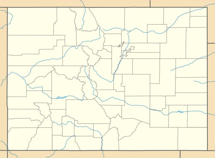
Cortez Municipal Airport (IATA: CEZ, ICAO: KCEZ, FAA LID: CEZ) (Montezuma County Airport) is three miles southwest of Cortez, in Montezuma County, Colorado. It sees one airline, subsidized by the Essential Air Service program.
Contents
Federal Aviation Administration records say the airport had 8,401 passenger boardings (enplanements) in calendar year 2008, 7,698 in 2009 and 6,342 in 2010. The National Plan of Integrated Airport Systems for 2011–2015 categorized it as a non-primary commercial service airport (between 2,500 and 10,000 enplanements per year).
Facilities
Cortez Municipal Airport covers 622 acres (252 ha) at an elevation of 5,918 feet (1,804 m). Its one runway, 3/21, is 7,205 by 100 feet (2,196 x 30 m) asphalt.
In 2011 the airport had 12,036 aircraft operations, average 32 per day: 83% general aviation, 17% air taxi, and <1% military. 36 aircraft were then based at the airport: 81% single-engine, 6% multi-engine, and 14% ultralight.
Airline
Scheduled passenger service:
Miracle at Cortez
A Lockheed U-2 reconnaissance aircraft made an emergency nighttime forced landing August 3, 1959, at the Cortez Municipal Airport. Major H. Mike Hua (now retired as General) was on a training flight originating at Laughlin AFB, Texas; the U-2 aircraft engine flamed out at 70,000 feet MSL. Maj. Hua established best glide and was able to navigate through a valley to a lighted airport that wasn't on his map nor did he know of its existence beforehand. The airport was the only one in the area with a lighted runway which was illuminated overnight.
