
OS grid NX497870 Elevation 814 m | Topo map OS Landranger 77 Prominence 488 m | |
 | ||
Listing Corbett, Marilyn, Donald Similar Cairns of Carsphairn, Shalloch on Minnoch, Craignaw, Kirriereoch Hill, Mullwharchar | ||
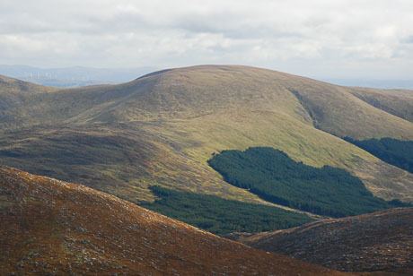
Corserine is the highest point of the Rhinns of Kells range in the Southern Uplands of southern Scotland. The usual route of ascent is from the car park at Forest Lodge to the east of the hill via Loch Harrow and North Gairy Top. Forest Lodge is a short drive from the village of St. John's Town of Dalry.
Contents
Map of Corserine, Newton Stewart, UK
Walking
Corserine is an easy ascent with a very flat summit area. The full traverse of the Rhinns of Kells is a frequently undertaken long day's hillwalk.
Climbing
Because of the nature of the rock no good rock climbing has been recorded on Corserine or elsewhere on the Rhinns. However, in winter after a good freeze there are a number of good ice climbs of up to 150 m on the slopes of Milldown just south of Corserine.
References
Corserine Wikipedia(Text) CC BY-SA