
Country United States Population 159,503 (2013) Unemployment rate 5.4% (Feb 2015) Area 38.930 sq mi | State California Mayor Eugene Montanez | |
Points of interest Santa Ana Mountains, Crossroads Christian Church, Santiago Peak | ||
Corona, originally named, South Riverside, is a city in Riverside County, California, United States. As of the 2010 census, the city had a population of 152,374, up from 124,966 at the 2000 census. The cities of Norco and Riverside lie to the northeast, Eastvale to the north, Chino Hills to the northwest, Yorba Linda, and the Cleveland National Forest and the Santa Ana Mountains to the southwest. Unincorporated areas of Riverside County line all of its other borders.
Contents
- Map of Corona California
- Centennial corona 2nd place at the 2013 under armour holiday classic
- Corona care retirement assisted living corona ca california
- History
- Geography and climate
- Economy
- References
Map of Corona, California
Centennial corona 2nd place at the 2013 under armour holiday classic
Corona care retirement assisted living corona ca california
History
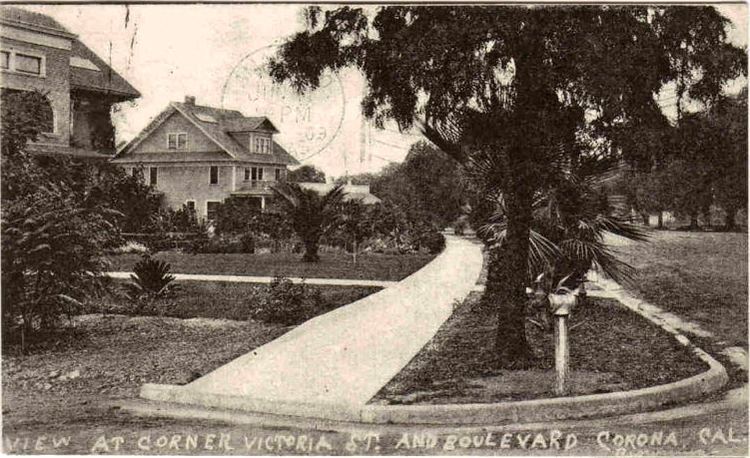
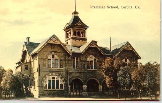
Corona, founded at the height of the Southern California citrus boom in 1886, is advantageously situated at the upper end of the Santa Ana River Canyon, the only significant pass through the Santa Ana Mountains. The town of Corona was once the "Lemon Capital of the World." A museum there presents the lemons former role in the local economy. The city derived its name (and its nickname, The Circle City) from the curious layout of its streets, with a standard grid enclosed by the circular Grand Boulevard, 2.75 miles in circumference. The street layout was designed by Hiram Clay Kellogg, a civil engineer from Anaheim who was an influential figure in the early development of Orange County.
Corona was established as a town by the South Riverside Land and Water Company. The company was incorporated in 1886, founding members included ex-Governor of Iowa, Samuel Merrill, R.B. Taylor, George L. Joy, A.S. Garretson, and Adolph Rimpau. Originally a citrus growers organization, it purchased the lands of Rancho La Sierra of Bernardo Yorba, and the Rancho Temescal grant and the colony of South Riverside was laid out. They also secured the water rights to Temescal Creek, its tributaries and Lee Lake. Dams and pipelines were built to carry the water to the colony. In 1889, the Temescal Water Company was incorporated, to supply water for the new colony. This company purchased all the water-bearing lands in the Temescal valley and began drilling artesian wells.
Originally located in San Bernardino County, the city was named South Riverside and received its post office in that name on August 11, 1887. In 1893, South Riverside became part of the new Riverside County. In 1896, the city was renamed Corona for its circular Grand Boulevard, where three international automobile races were held in 1913, 1914 and 1916.
The city of Corona has been popular among celebrities drawn to its upscale areas and relative privacy compared to Los Angeles. Desi Arnaz spent time at their ranch, located in south Corona, and played golf often at Cresta Verde Golf Course in the northeastern section of the city. After their divorce, Mr. Arnaz continued to live in Corona.
In recent years Corona has been known as the Gateway to the Inland Empire. Prior to the 1980s, the city was a largely agricultural community, dominated by citrus orchards, ranches, and dairy farms. High real estate prices in Los Angeles and Orange counties made the areas land desirable to developers and industrialists, and by the late 1990s Corona was considered a major suburb of Los Angeles.
Corona has become a bedroom community for Orange County, Los Angeles, and the larger cities of the Inland Empire. The development of commerce and industry in the city has been accelerated by access to the area via the Riverside Freeway, with many firms leaving northern Orange County to be closer to their employees homes in Corona and Riverside. The construction of the nearby Chino Valley Freeway has linked Corona to the Pomona and San Gabriel valleys.
In 2002, the city government considered an initiative to secede from Riverside County and form an autonomous Corona County because the city government and some residents were dissatisfied with how services were handled in nearby areas. The effort was also considered by areas in other cities in the western part of the county as far south as Murrieta. Whether nearby cities such as Norco, California would have been included in the new county are unknown. The proposed county would have been bordered by San Bernardino County to the northwest, and by Orange County to the west, but it never came to fruition.
Geography and climate
Corona is located at 33°52?N 117°34?W (33.8700, ?117.5678).
According to the United States Census Bureau, the city has a total area of 38.9 square miles (101 km2), of which, 38.8 square miles (100 km2) of it is land and 0.1 square miles (0.26 km2) of it (0.27%) is water.
In recent years, there are talks to construct a proposed 10-mile automobile and fast-speed train tunnel under Santiago Peak to connect Interstate 15 in Corona with Interstate 5 and the 55 Freeway of Orange County, to cut down on commuter traffic on the already crowded or high-traffic 91 Freeway.
Corona experiences a warm Mediterranean climate (Koppen climate classification CSa) and has mild winters and hot summers. Most of the rainfall (as in all of Southern California) occurs during winter and early spring. The winter low temperatures can get cold enough for frost, with rare snowfall seen on the local foothills. Winter days are pleasant, with the mercury staying around 65 degrees Fahrenheit (occasionally warming into the 70s). Summertime is hot, with highs averaging in the low 90s. During the hottest months, daytime temperatures in Corona often exceed 100 degrees.
Economy
Some businesses headquartered in Corona: