Postcode 3591 | Local time Tuesday 4:33 AM | |
 | ||
Weather 16°C, Wind W at 5 km/h, 89% Humidity | ||
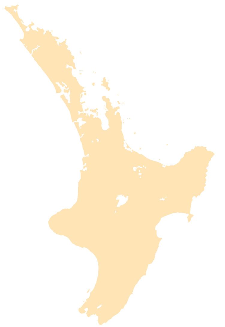
Coroglen is a locality in the Coromandel Peninsula, New Zealand. It lies on State Highway 25, 18 kilometres south of Whitianga and 26 kilometres north west of Tairua. The "Tapu-Coroglen Road", a windy gravel road, connects it across the Coromandel Range with Tapu on the west coast of the peninsula.
Contents
Map of Coroglen 3591, New Zealand
History
The town was founded as "Gumtown" in the late 19th century with a kauri sawmill. In the early 1900s, Gumtown had three stores, a bakery, a butcher's, a bootmaker, a blacksmith, a hotel, two boarding houses, and a billiard saloon. Currently, Coroglen has a tavern (famous for live music performances), a school, a pre school, a community garden and a popular Farmers Market on Sundays. There is also a free Zenbu wireless hot spot.
Education
Coroglen School is a co-educational full primary (years 1 - 8) school with a decile rating of 6 and a roll of around 40.
