
Mountains Castle Rock | ||
 | ||
Similar Kauaeranga Valley Road, Karangahake Gorge, Moehau Range, Castle Rock, 309 Road | ||
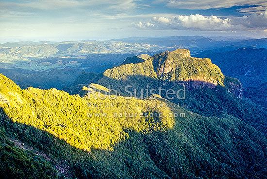
Ofqs somewhere in the coromandel ranges
The Coromandel Range is a ridge of rugged hills running the length of the Coromandel Peninsula in the North Island of New Zealand. It is located 60 kilometres east of the city of Auckland, and runs north-south for approximately 85 kilometres. The highest point in the range is Mount Moehau (892 metres), at the northern end of the peninsula within the Moehau Range. There are numerous peaks over 600 metres in height.
Contents
- Ofqs somewhere in the coromandel ranges
- Map of Coromandel Range Coromandel Forest Park 3592 New Zealand
- Vr4 through the coromandel ranges part1
- References
Map of Coromandel Range, Coromandel Forest Park 3592, New Zealand
The range is one of several that form a spine running through the northern North Island. To the south of the Coromandel Range, separated by the winding Karangahake Gorge, the spine continues with the Kaimai Range.
The large island of Great Barrier, at the entrance to the Hauraki Gulf due north of the Coromandel Peninsula, can be thought of as a northern continuation of this spine.