
Status Operational Opened 1968 Owner Icon Water Limited Spillway 1 | Opening date 1968 (1968) Height 74 m Catchment area 197 km² | |
 | ||
Similar Cotter Dam, Bendora Dam, Mount Gingera, Googong Dam, Gibraltar Falls | ||
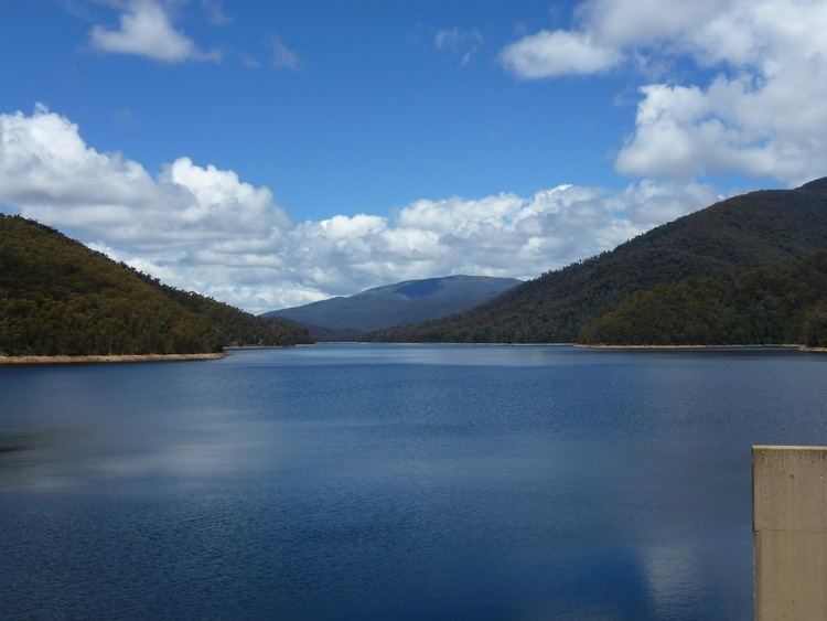
The Corin Dam is an earth and rockfill embankment dam with an uncontrolled side channel spillway across the Cotter River, located within Namadgi National Park in the Australian Capital Territory, Australia. The impounded reservoir is called the Corin Reservoir which is a supply source of potable water for the city of Canberra and its environs. It is named after William Corin (1867-1929), a pioneer in hydroelectric development in Australia.
Contents
Map of Corin Dam, Cotter River ACT 2611, Australia
Location and features
Constructed by Thiess Bros Pty Limited working from designs prepared by the Commonwealth Department of Works, the Corin Dam was completed and opened in 1968. The earthen dam wall built on a rock foundation is 74 metres (243 ft) high and 282 metres (925 ft) long with a volume of 1,394 thousand cubic metres (49.2×10^6 cu ft). The wall impounds 75,500 megalitres (1.66×10¹⁰ imp gal; 1.99×10¹⁰ US gal) of water held within the Corin Reservoir, forming a surface area of approximately 3.15 square kilometres (1.22 sq mi) drawn from a catchment area of 197 square kilometres (76 sq mi). The uncontrolled side channel spillway is capable of discharging 1,190 cubic metres per second (42,000 cu ft/s) from the reservoir, with a high water level approximately 955.54 metres (3,135 ft) above sea level.
Water from the Corin, together with the Bendora (downstream), and the Cotter dams (further downstream) are pumped to the suburbs of Canberra via the Bendora Gravity Main.