
Elevation 1,230 m (4,040 ft) | Mountains Pic de Bugarach | |
 | ||
Similar Cathar castles, Château de Quéribus, Peyrepertuse, Aude, Pic de Bugarach | ||
The Corbières Massif (Catalan: Corberes; French: Massif des Corbières) is a mountain range in the Pre-Pyrenees. It is the only true foothill of the Pyrenees on their northern side.
Contents
Map of Corbi%C3%A8res, 66720 Tautavel, France
Geography
The Corbières are a mountain region in the Languedoc-Roussillon in southwestern France, located in the departements of Aude and Pyrénées-Orientales.
The River Aude borders the Corbières to the west and north, and the River Agly more or less to the south. The eastern border is the Mediterranean Sea. The eastern part of the Corbières bordering the Mediterranean and the Etangs is also known as the Corbières Maritimes, and has a special kind of climate and typical vegetation (thermo-mediterranean vegetation) which cannot be found in the western part.
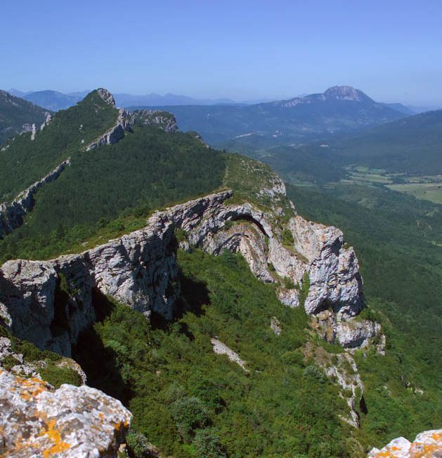
The highest point of the Corbières is the 1,230 m high Pic de Bugarach.