
Topo map USGS Coosa Bald Elevation 1,305 m Parent range Blue Ridge Mountains | First ascent unknown Prominence 293 m | |
 | ||
Similar | ||
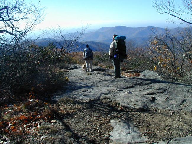
Coosa Bald, with an elevation of 4,280 feet (1,300 m), is tied with Double Spring Knob as the tenth-highest peak in Georgia. It is located in Union County and is the third-highest mountain in the county, behind Blood Mountain and Slaughter Mountain. Coosa Bald is located in the Chattahoochee National Forest and its peak is crossed by the Duncan Ridge Trail, a trail that connects with the Benton MacKaye Trail and the Appalachian Trail.
Map of Coosa Bald, Georgia 30512, USA
References
Coosa Bald Wikipedia(Text) CC BY-SA