
Irish Grid Reference O187973 Population 2,632 (2011) | Elevation 38 m Local time Sunday 10:11 PM | |
 | ||
Weather 4°C, Wind SW at 23 km/h, 82% Humidity | ||
Coolock (Irish: An Chúlóg, meaning "The Little Corner") is a large suburban area, centred on a village, on Dublin city's Northside in Ireland. Coolock is crossed by the Santry River, a prominent feature in the middle of the district, with a linear park and ponds. The Coolock suburban area encompasses parts of three Dublin postal districts: Dublin 5, Dublin 13 and Dublin 17.
Contents
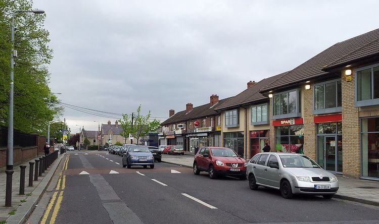
- Map of Coolock Co Dublin Ireland
- History
- Nature
- Location Character
- Localities
- Religion
- Education
- Amenities
- Businesses and retail facilities
- Film television
- Transport
- References
Map of Coolock, Co. Dublin, Ireland
The civil parish of Coolock takes in the land between the Tonlegee Road (as far as Donaghmede) and the Malahide Road, as well as the lands on either side of the Malahide Road between Darndale and Artane, and the lands either side of the Oscar Traynor Road on the approach to Santry.
Coolock is also the name of the barony which accounts for most of north Dublin city, from the coast in to the Phoenix Park, and stretching north as far as to Swords.
History
Coolock has a history dating back over 3,500 years – a bronze-age burial site in the area dates back to 1500 BC. The settlement grew up around a small early-Christian church. A Catholic church, St. John's, was later built in the area (see Parish of Coolock (Roman Catholic) and Coolock parish (Church of Ireland) for more). The feudal barony of Coolock was granted in 1199 by Henry II to the Archbishop of Dublin.
Coolock remained a small village until the 1950s, with lands around the village being further developed over time, notably Bonnybrook and Kilmore West, between which a new centre to the area formed. At one time the old village was on the Malahide Road but that road was diverted and now passes slightly to the east of the village; in the meantime, a secondary hamlet, Newtown Coolock, developed further north.
Later again, lands in the north of Coolock were developed to form the new districts of Darndale and Priorswood, Dublin.
Famous historical figures linked to the area included Henry Grattan of Belcamp Park, and the novelist Charles Lever.
Nature
Coolock lies either side of the valley of the Santry River, and includes a diversion from the River Naniken. It is a relatively flat area, with a linear park around the Santry, and small green areas also.
Location / Character
Coolock lies at the centre of majority working class Northside suburbs such as Kilbarrack, Donaghmede and the Edenmore part of Raheny, and itself includes localities such as Ayrfield, Bonnybrook, Darndale, Priorswood, Greencastle and Kilmore West. As with other large suburban areas, such as Tallaght or Swords, there is no legal definition for Coolock, and so no definitive population figures, but it is one of Dublin's largest residential areas.
The majority of Coolock, excluding Ayrfield, was built-up by the then city authority, Dublin Corporation, as part of a programme of phased inner city slum clearance (between, roughly, 1952 and 1987). Dublin City Council calculates that addresses containing "Coolock" comprise the largest stock of local authority houses within its jurisdiction and the area is central to the linear range of local authority building that took place during between the 1960s and the 1980s across Dublin's Northside - i.e. Ballymun including Poppintree, Kilmore, Coolock, Edenmore, Kilbarrack and Donaghmede.
The permanent Traveller halting site estates (which differ in layout to traditional halting sites) of Cara Park and Dominick Park, found in the Belcamp area (along the N32) are among the largest halting site facilities provided by local authorities in Ireland. They contain an adult education centre and pre-school facilities for the local Traveller population, both located beside Dominick Park. At least one smaller, more traditional, Traveller settlement is found in the area, close to the Clare Hall Shopping Centre. King of the Travellers, Jim Watt, is a resident of this settlement.
Localities
Located between Donaghmede and Coolock is Clare Hall, a later housing estate, which includes a small shopping precinct, and the large Clarehall Shopping Centre which is anchored by Tesco Extra.
Religion
Coolock has given its name to religious divisions over a long period, and the primary historical ones are discussed at Parish of Coolock (Roman Catholic), and (from the Act of Supremacy), Parish of Coolock (Church of Ireland). Both Catholic (multiple) and Church of Ireland buildings stand within the area today. In the Catholic divisions, additional parishes today include Bonnybrook and Ayrfield (encompassing the Greenwood estate).
Education
Amenities
Public parks in the area include the Santry River Linear Park, and in Bonnybrook the Stardust Memorial Garden which is dedicated to the 48 people who lost their lives in the Stardust nightclub. Parnells GAA club is based in Coolock village.
Coolock is also a centre of local government activity, with a Dublin City Council major centre, NEAR FM community radio station, Health Services Executive centre and recycling centre.
Businesses and retail facilities
The outskirts of Coolock host several factories and industrial estates. Cadbury Ireland manufactured chocolate products in Coolock from 1964 to 2015. The nearby Tayto Crisps factory manufactured snack foods until it closed in 2005. Other businesses include: Odeon cinema, leisure Plex center, Power city, McDonald's, Crown paint, a montessori etc. all of which are located on the Malahide Rd.
Notable retail facilities include Northside Shopping Centre, Ireland's first covered shopping centre, situated near accesses to the M1 and M50, with more than 70 outlets and a city council swimming pool.
Film & television
The Coolock area was featured extensively during location shooting for the 1991 film The Commitments, directed by Alan Parker and starring a mainly unknown cast at the time [1].
Transport
Coolock, which is not crossed by any rail systems, is serviced by main roads, including the N32 and Oscar Traynor Roads which link to the M1, and by the following Dublin Bus routes: