
Country United States County Cayuga FIPS code 36-17849 Elevation 128 m Population 1,819 (2010) Area code 315 | State New York Time zone Eastern (EST) (UTC-5) GNIS feature ID 0978862 Zip code 13140 Local time Saturday 7:19 PM | |
 | ||
Weather -11°C, Wind S at 3 km/h, 57% Humidity Area 94.02 km² (91.17 km² Land / 2.849 km² Water) | ||
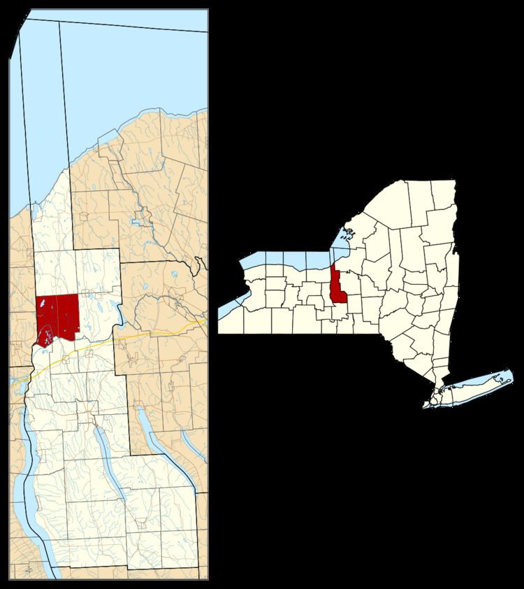
Conquest is a town in Cayuga County, New York, United States. The population was 1,819 at the 2010 census. The name was chosen to mark the victory of those who wished to form the town. Conquest is on the western border of Cayuga County and is west of Syracuse.
Contents
- Map of Conquest NY 13140 USA
- History
- Geography
- Demographics
- Communities and locations in Conquest
- References
Map of Conquest, NY 13140, USA
History
Conquest was part of the Central New York Military Tract. The area of the town was first settled around 1800. The town of Conquest was formed in 1821 from the town of Cato after a contentious dispute about whether to form the new town. The town of Victory was formed at the same time and given a name to celebrate the outcome.
Geography
According to the United States Census Bureau, the town of Conquest has a total area of 36.3 square miles (94.1 km2), of which 35.2 square miles (91.2 km2) is land and 1.1 square miles (2.8 km2), or 3.02%, is water.
The west town line is the border of Wayne County, and the Seneca River and the Erie Canal define the south town line.
New York State Route 38 is a north-south highway in Conquest.
Demographics
As of the census of 2000, there were 1,925 people, 665 households, and 514 families residing in the town. The population density was 54.7 people per square mile (21.1/km²). There were 847 housing units at an average density of 24.1 per square mile (9.3/km²). The racial makeup of the town was 98.34% White, 0.26% African American, 0.42% Native American, 0.05% Asian, 0.10% from other races, and 0.83% from two or more races. Hispanic or Latino of any race were 0.36% of the population.
There were 665 households out of which 38.6% had children under the age of 18 living with them, 62.7% were married couples living together, 7.8% had a female householder with no husband present, and 22.6% were non-families. 15.9% of all households were made up of individuals and 6.0% had someone living alone who was 65 years of age or older. The average household size was 2.89 and the average family size was 3.19.
In the town, the population was spread out with 29.0% under the age of 18, 7.7% from 18 to 24, 30.4% from 25 to 44, 23.4% from 45 to 64, and 9.5% who were 65 years of age or older. The median age was 36 years. For every 100 females there were 101.8 males. For every 100 females age 18 and over, there were 102.2 males.
The median income for a household in the town was $37,857, and the median income for a family was $41,583. Males had a median income of $30,882 versus $21,923 for females. The per capita income for the town was $15,045. About 7.6% of families and 12.4% of the population were below the poverty line, including 19.9% of those under age 18 and 9.0% of those age 65 or over.