
Country United States of America | Length 93 km Cities San Angelo | |
 | ||
Sources South Concho River, Middle Concho River, North Concho River | ||
Concho river san angelo tx
The Concho River is a river in the U.S. state of Texas. Concho is Spanish for "shell"; the river was so named due to its abundance of freshwater mussels, such as the Tampico pearly mussel (Cyrtonaias tampicoensis).
Contents
- Concho river san angelo tx
- Map of Concho River Texas USA
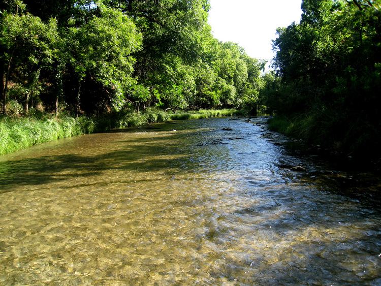
- The bosque along the concho river
- GeographyEdit
- HistoryEdit
- References
Map of Concho River, Texas, USA
The bosque along the concho river
GeographyEdit
The Concho River has three primary feeds: the North, Middle, and South Concho Rivers. The North Concho River is the longest fork, starting in Howard County and traveling southeast for 88 mi (142 km) until merging with the South and Middle forks near Goodfellow Air Force Base at San Angelo, Texas. The combined branches of the river flow east about 58 mi (93 km) until it eventually empties into the Colorado River about 12 mi (19 km) east of Paint Rock, Texas.
HistoryEdit
Hernando de Ugarte y la Concha, Governor of New Mexico, dispatched an expedition from Santa Fe in 1650 led by Captain Diego del Castillo, to explore what is now north central Texas. The expedition reached the territory of the Tejas Indians, and reported finding pearls on the Concho River. The Diego de Guadalajara expedition was launched in 1654 to follow up on Castillo's findings. The Spanish explored the river for the gem-quality purple to pink pearls produced by that species. The mussels were systematically harvested for only a short time because it was soon realized that the yield of pearls was too low for their harvest to be economically viable.