
 | ||
Elevation 1,073 ft (327 m) NAVD 88 Similar Sierra Nevada, Tejon Pass, Fort Tejon, Desert View Watchtower, Marble Canyon | ||
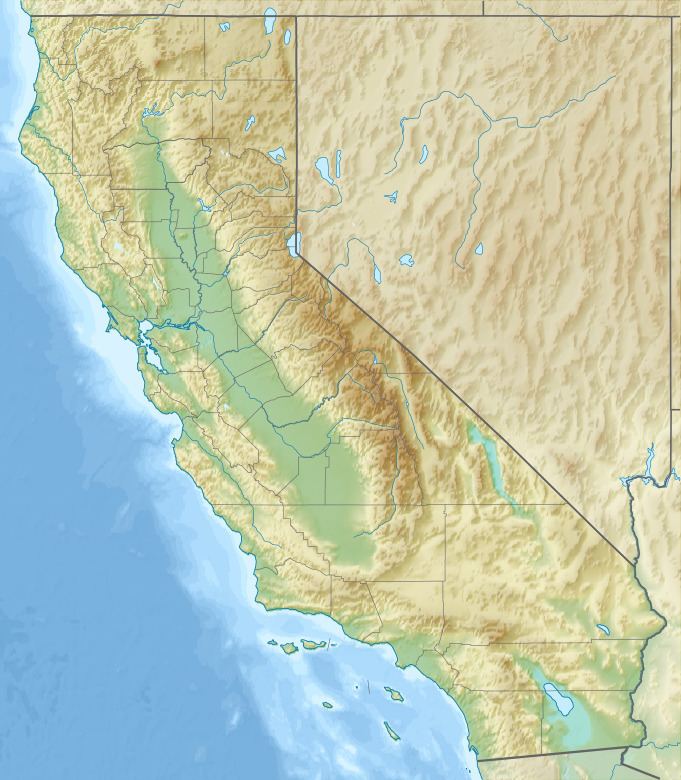
Comanche Point is the northwestern headland and prominence of the Tejon Hills, notably extending westward into the southern San Joaquin Valley, west of the Tehachapi Mountains. It is approximately 4 miles (6.4 km) south of Arvin, in Kern County, California.
Contents
Map of Comanche Point, California 93203, USA
EcologyEdit
Comanche Point and the rest of the Tejon Hills are on the Tejon Ranch, in the section managed by the Tejon Ranch Conservancy.
There are natural alkali springs and marshes on Comanche Point and the alkaline uplifted marine sediment deposits that form it, which support locally and regionally endemic and rare California native plants (flora).
The major threats to the areas rare flora and fauna are overgrazing, rooting feral pigs, and invasive plant species.
References
Comanche Point Wikipedia(Text) CC BY-SA