
Length 361.5 km | ||
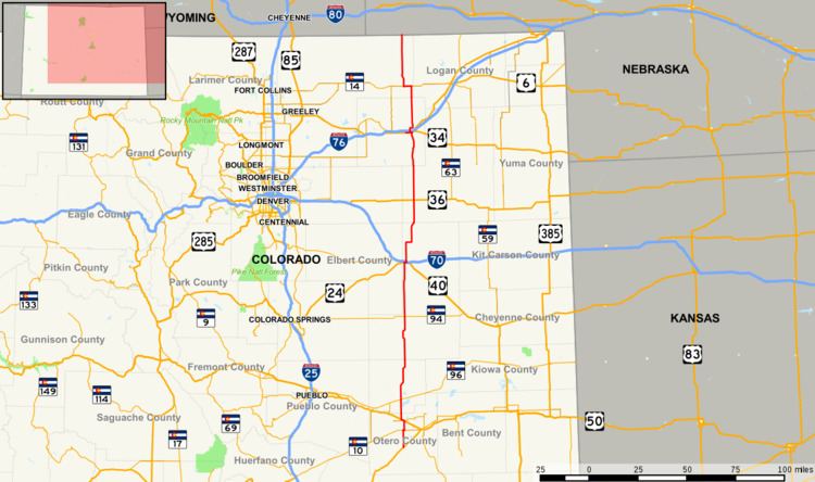 | ||
State Highway 71 is a 224-mile-long (360 km) state highway passing several other highways in northern and central Colorado. The route runs south from the Nebraska border to La Junta.
Contents
Map of CO-71, Colorado, USA
Route description
SH 71 begins at its southern terminus with U.S. Highway 350 in La Junta, Colorado. It proceeds north into Crowley County and the city of Ordway, where it is signed as Phantom Avenue. The highway continues northward to a junction with Interstate 70 adjacent to U.S. Highway 24.
In La Junta, the highway continues north for several miles to Ordway, then it takes a northeast turn to Limon. It then goes back north and skirts the town of Brush. It then heads through rural country to Nebraska
In Stoneham, the state portion of the road overlaps County Road 142 and heads to the north. The route takes a northeast turn and continues in to Nebraska as Nebraska Highway 71.