
Time zone EST (UTC−5) Area code(s) 418 and 581 Area 381.7 km² Province Québec | Constituted January 1, 1946 Postal code(s) G0H 1P0 Population 747 (2011) Local time Thursday 1:40 AM | |
 | ||
Weather -1°C, Wind SW at 8 km/h, 94% Humidity RCMs Côte-Nord, La Haute-Côte-Nord Regional County Municipality | ||
Colombier is a municipality in the Canadian province of Quebec, located in the Côte-Nord region and the regional county municipality of La Haute-Côte-Nord. It is located along Route 138, about 60 kilometres (37 mi) south-west of Baie-Comeau.
Contents
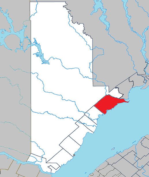
Map of Colombier, QC, Canada
It includes the population centres of (Sainte-Thérèse-de-) Colombier, Les Îlets-Jérémie, and Saint-Marc-de-Latour.
History
While some logging took place in the middle of the 19th century, real impetus to its development was due to the economic crisis of the 1930s, when government authorities encouraged resettlement of the unemployed by opening the area for agriculture. In 1932, Saint-Marc-de-Latour was formed with the construction of a sawmill. In 1935, the Parish of Sainte-Thérèse-des-Colombiers was formed. Also that year, pioneers set up 20 camps and built the road along the Saint Lawrence River. In 1937, the post office opened, then designated as Rivière-Colombier, named after the Colombier River, a tributary of the St. Lawrence that flows through the municipality.
In 1946, the Municipality of Colombier was formed, named after the river, which in turn was named after Charles-Roger des Colombiers (1628-1687), fur trader, citizen and alderman of Quebec, who had been granted a fief in that territory in 1677.
Demographics
Population trend:
Private dwellings occupied by usual residents: 355 (total dwellings: 393)
Mother tongue: