
Population 109 (2006 census) County Ewenmar Postal code 2827 | Postcode(s) 2827 Local time Thursday 1:46 PM | |
 | ||
Weather 27°C, Wind SE at 18 km/h, 30% Humidity | ||
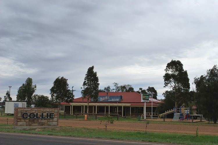
Collie is a village and parish in central New South Wales, Australia. The town is located in Warren Shire and on the Oxley Highway, 522 kilometres (324 mi) north west of the state capital, Sydney. At the 2006 census, Collie and the surrounding area had a population of 109. The name, Collie, could have derived from an Aboriginal word meaning "water".
Map of Collie NSW 2827, Australia
References
Collie, New South Wales Wikipedia(Text) CC BY-SA