
Elevation 2,542 m Traversed by Mule track | ||
 | ||
Similar Alps, Col de la Roue, Pointe du Fréjus, Ouvrage Pas du Roc, Fréjus Road Tunnel | ||
Col du fr jus mp4
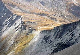
Col du Fréjus (el. 2,542 metres) is a mountain col road in the Cottian Alps on the border between France and Italy. It connects Bardonecchia, Italy to Modane, France.
Contents
- Col du fr jus mp4
- Map of Col du FrC3A9jus 10052 Bardonecchia Metropolitan City of Turin Italy
- References
Map of Col du Fr%C3%A9jus, 10052 Bardonecchia, Metropolitan City of Turin, Italy
The road over the mountain pass is not paved and limited to walking traffic. Vehicular traffic utilizes the Fréjus Road Tunnel.
References
Col du Fréjus Wikipedia(Text) CC BY-SA