
 | ||
New Zealand has 14,000 kilometres (8,700 mi) of coastline making it the 10th longest in the world. The coastline borders the Tasman Sea and the Pacific Ocean. The northern and southern most points of the coastline on the two main islands are Surville Cliffs and Slope Point respectively. Cape Reinga in the north and Bluff in the south are often incorrectly given as the extremities of the coastline on the North and South Islands. Coastal development, such as buildings and marine farms, has become contentious in recent decades.It meets on the top and bottom of both the South Island and the North island.
Contents
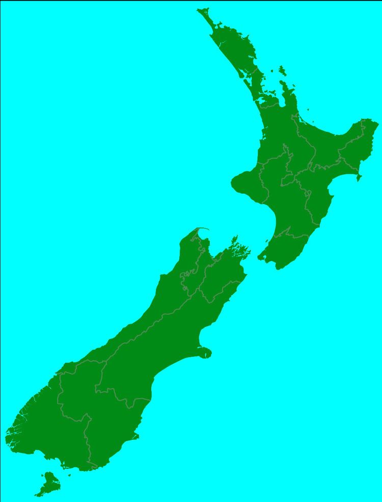
Map of New Zealand
Geography
The geography of the New Zealand coastline is varied. As well as sheltered sandy beaches there are rugged, remote and cliff lined sections typified by the Fiordland area. Ironsand gives the beaches on west coast of the North Island a black colouration.
Pine plantation were established on some of the coastal dune sections. Woodhill, Riverhead and Bottle Lake Forest are such examples. Marram grass was planted for dune stabilisation displacing native plants such as Pīkao.
Coastal fortifications
Coastal fortifications were built around the New Zealand coast line in two separate times: in 1885 during the "Russian scare" and during World War II as a defence against the perceived threat of a Japanese invasion. Some of the installations have been restored and are open to the public.