
Topo map USGS Cloud Peak Elevation 4,013 m First ascent 1897 | Easiest route Hike/scramble Prominence 2,154 m | |
 | ||
Listing North America highest peaks 117thNorth America prominent peaks 73rdNorth America isolated peaks 84thUS highest major peaks 98th Similar Bomber Mountain, Black Tooth Mountain, Gannett Peak, Francs Peak, Mount Marcus Baker | ||
Wyoming cloud peak skyway scenic byway us highway 16
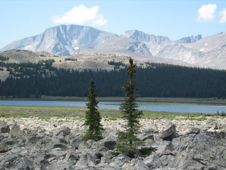
Cloud Peak is the highest peak within the Big Horn Mountains in the U.S. state of Wyoming. It rises to an elevation of 13,167 feet (4,013 m) and provides onlookers with dramatic views and vistas. The mountain can be climbed most easily from the western side, accessed by either the Battle Park or West Tensleep trail-heads and is roughly 24 miles round-trip from both. The peak is located in the 189,000 acre (765 km²) Cloud Peak Wilderness within Bighorn National Forest. The northeast slope of Cloud Peak is a deep cirque which harbors Cloud Peak Glacier, the last active glacier in the Bighorn Mountains.
Contents
Map of Cloud Peak, Wyoming 82834, USA
Cloud Peak is on the border between Johnson County and Big Horn County in Wyoming and is the high point of both counties. As the high point of an isolated range, Cloud Peak has a particularly high topographic prominence of 7,067 feet (2,154 m). In fact, the mountain has the second greatest topographic prominence in Wyoming, only barely beaten by Gannett Peak, and the fifteenth greatest topographic prominence in the contiguous United States.