
Community Scarborough | ||
 | ||
Established (Postal village) 'Danforth' Changed Municipality 1998 Toronto from Scarborough Restaurants Victorian Monkey, Duckwort Fish & Chips, Tara Inn, Vincent's Spot, Ikki Sushi Hotels Days Inn ‑ Toronto East Lake, Best Western Metro Inn, Andrews Motels, Bluffers Sand Beach | ||
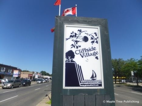
Cliffside is a neighbourhood in Toronto, Ontario, Canada, located along the Scarborough Bluffs in the district of Scarborough. Its boundaries are Kennedy Road to the west (where Kingston and Danforth Road merge), St. Clair Avenue East to the north, Brimley Road to the east, and the Bluffs on the lakeshore to the south. Most of the houses were built in the early to mid 1960's with the baby boom and the mass expansion of the surrounding Toronto suburbs (Scarborough, North York etc.) at the time.
Contents
Map of Cliffside, Toronto, ON, Canada
The population consists of a large number of those with ancestral backgrounds from the British Isles: English 19.8% Scottish 14.4% Irish 11.8%, totalling 46% (source: 2001 Census).
Landmarks
References
Cliffside, Toronto Wikipedia(Text) CC BY-SA