
Existed: 1930s – present | ||
 | ||
Componenthighways: LECT entire route SR 2 from Detroit-Shoreway to Bratenahl / North Colinwood line US 6 / US 20 from Detroit-Shoreway to Ohio City I-90 from Downtown to Bratenahl / North Colinwood line SR 283 from Glenville to Bratenahl West end: US 6 / US 20 / SR 2 / LECT in Detroit-Shoreway East end: SR 283 / LECT in Bratenahl | ||
This article is about the sections of Route 2 and Route 283 in Cleveland and Bratenahl. For the full routes, see Ohio State Route 2 and Ohio State Route 283.
This article is about the sections of Interstate 90, US 6, and US 20 in Cleveland. For the full routes in Ohio, see Interstate 90 in Ohio, U.S. Route 6 in Ohio, and U.S. Route 20 in Ohio.
Contents
Map of Cleveland Memorial Shoreway, Cleveland, OH, USA
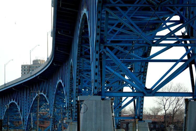
The Cleveland Memorial Shoreway (often shortened to "The Shoreway") is a limited-access freeway in Cleveland, Ohio. It closely follows the shore of Lake Erie and connects the east and west sides of Cleveland via the Main Avenue Bridge over the Cuyahoga River. The Cleveland neighborhood of Detroit-Shoreway is named after the two roads that form the northern border, the Shoreway and Detroit Avenue.
In May 2016 the West Shoreway, the portion of the Shoreway from the Cuyahoga River westward, was named the "Governor Richard F. Celeste Shoreway".
History
The Shoreway began as a 4-mile (6.4 km) roadway from East Ninth Street to East 55th Street built in 1930s using Works Progress Administration workers, and it served as access to the Great Lakes Exposition in 1936. It was the largest WPA project in the country. Within two years the roadway was extended to the Illuminating Company plant adjacent to Gordon Park, and it was opened for traffic in 1938, although planning delays prevented WPA from laying a second strip of pavement and building grade separations from side streets. After completion of the Main Avenue Bridge was completed in 1940, the highway was extended westward to Edgewater Park. The East Ninth Street interchange was also completed in 1940. The highway was extended to Bratenahl at East 140th Street in 1941. The roadway was envisioned as part of a larger system of high speed highways in the city. A West Shore Drive from Edgewater Park to Rocky River was planned, but further construction was interrupted by World War II. After the War, the previously unnamed highway became the Memorial Shoreway in honor of Cleveland's war veterans.
In 1944, the city and county planning departments and the state highway department developed a master plan for freeways throughout the area. However, the only additional freeway built was the Willow Freeway. The Memorial Shoreway permitted crosstown traffic with some stops but was incomplete between East 55th Street and East 72nd Street. In 1953 a further addition connected the sections of Shoreway and widened the original highway to make it an 8-lane, nonstop freeway. The Interstate Highway Act in 1956 provided the funding to complete much of the freeway system planned in 1944. As part of this effort, the Memorial Shoreway was joined to the new Lakeland Freeway, which by 1963 stretched eastward toward Painesville.
Future
The Shoreway west of the Main Avenue Bridge is in the process of being converted from a freeway to a surface street in order to increase ease of access to Lake Erie. Preliminary construction began in 2014; the speed limit dropped to 40 miles per hour (64 km/h) during the project, then permanently to 35 miles per hour (56 km/h) on October 5, 2015; the project as a whole is planned for completion in December 2017.