County Hamilton ZIP code 46060 Elevation 241 m | State Indiana FIPS code 18-12754 Local time Monday 8:16 AM | |
 | ||
Weather 11°C, Wind S at 21 km/h, 74% Humidity | ||
Clare is a small unincorporated community in White River Township, Hamilton County, Indiana.
Contents
Map of Clare, IN 46060, USA
History
The first settlement at Clare was made in about 1830. A post office was established at Clare in 1878, and remained in operation until it was discontinued in 1902.
Geography
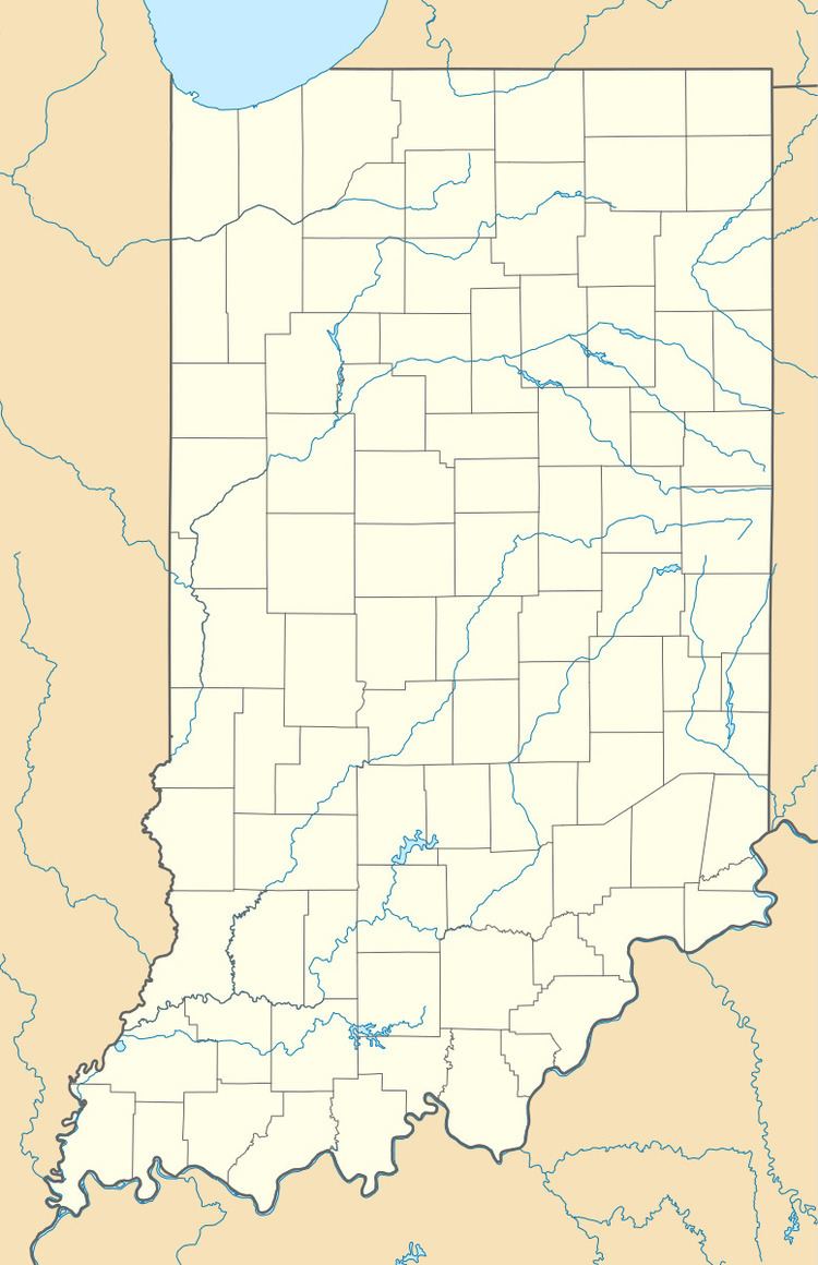
Clare is located at 40°05′54″N 85°57′56″W on the eastern bank of the White River directly across from the town of Riverwood. Clare Avenue, the town's single street, runs immediately parallel to State Road 37. The town is generally considered to stretch from 211th Street to 216th Street, in the narrow strip of land between State Road 37 and the White River.
On the north end of Clare, along the White River, is The Riverbend Campground.
References
Clare, Indiana Wikipedia(Text) CC BY-SA
