
Established 1910 Area 15,882 km² Population 19,423 (2006) | Mayor Peter Long State electorate(s) North West Founded 1910 | |
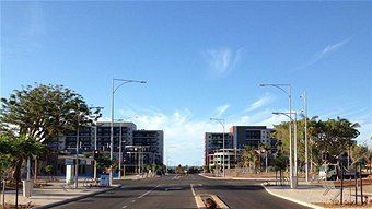 | ||
City of karratha arts community precinct 2015 presentation firey productions
The City of Karratha is one of the four local government areas in the Pilbara region of Western Australia. It covers an area of 15,882 square kilometres (6,132 sq mi) and has a population of about 25,000 (as of October 2013), most of which is located in its seat of government, the city of Karratha, and the major towns. It was formerly known as the Shire of Roebourne but was renamed and granted city status on 1 July 2014.
Contents
- City of karratha arts community precinct 2015 presentation firey productions
- Map of Karratha WA 6714 Australia
- City of karratha rio tinto partnership pov firey productions
- History
- Wards
- Towns
- References
Map of Karratha WA 6714, Australia
City of karratha rio tinto partnership pov firey productions
History
In 1887, the Municipality of Roebourne, and the Cossack and Roebourne Road Districts all came into being. As the Roebourne region's population declined, the three merged into the Roebourne Road District in 1910. On 1 July 1961, it became the Shire of Roebourne under the Local Government Act 1960. On 1 July 2014 it was granted city status and renamed the City of Karratha.
Wards
The City is divided into wards: