
Topo map NTS Map 104.F.16 Prominence 1,765 m | Elevation 2,910 m | |
 | ||
First ascent 16 July 1980 by Geoffrey Faraghan, Paul Tamm, Chris Wilson, Leslie Wilson Similar Mount Ratz, Hoodoo Mountain, Devils Paw | ||
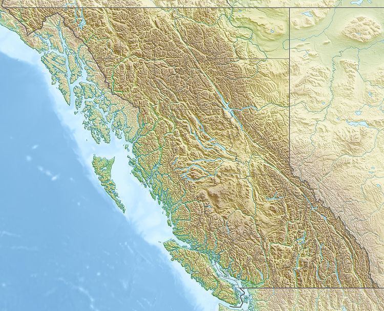
Chutine Peak is one of the highest mountains in the Boundary Ranges, a group of subranges of the northern Coast Mountains of British Columbia and Alaska. Chutine Peak lies just east of the Stikine Icecap, and to the north and west of the Stikine River, and south of the basin of the Whiting River. It is notable for its huge west face: the drop to Chutine Lake is 2,600 m (8,530 ft) in 3.5 km (2 mi). Due to its remoteness, however, it is rarely visited.
Map of Chutine Peak, Kitimat-Stikine D, BC, Canada
References
Chutine Peak Wikipedia(Text) CC BY-SA