
 | ||
Chumerna Glacier (Bulgarian: ледник Чумерна, ‘Lednik Chumerna’ \'led-nik chu-'mer-na) is the 2.2 km long and 1.9 km wide glacier draining the north slopes of Stavertsi Ridge on Albena Peninsula, Brabant Island in the Palmer Archipelago, Antarctica. It flows northeastwards to enter the channel between Brabant Island and Liège Island east of Hales Peak.
Contents
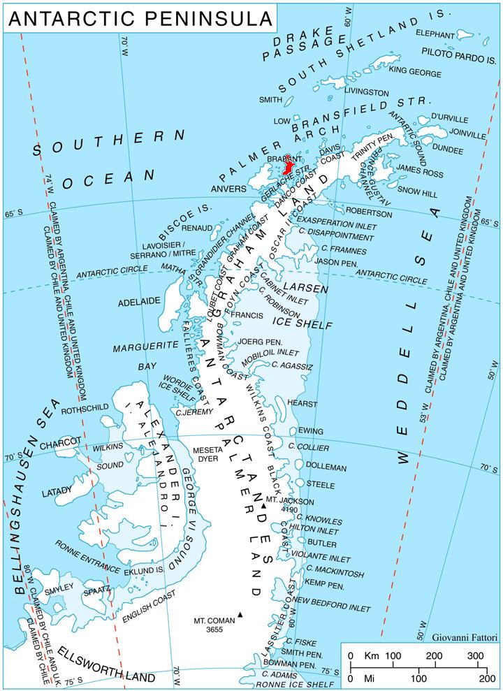
Map of Chumerna Glacier, Antarctica
The glacier is named after Chumerna Peak in eastern Balkan Mountains, Bulgaria.
Location
Chumerna Glacier is centred at 64°08′10″S 62°06′20″W. British mapping in 1980.
Maps
References
Chumerna Glacier Wikipedia(Text) CC BY-SA