
Founded 1600 Elevation 326 m (1,070 ft) Area 6.96 km² | Town status 1938 Time zone EET (UTC+2) Population 6,137 (2011) | |
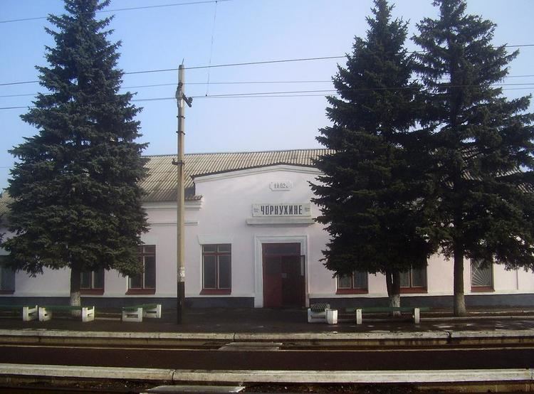 | ||
Chornukhyne (Ukrainian: Чорнухине) is an urban-type settlement in Popasna Raion (district) of Luhansk Oblast in eastern Ukraine. In the 2001 Ukrainian census, the town's population was 7,782. As of 2011, its population was 6,137.
Contents
Map of Chornukhyne, Luhansk Oblast, Ukraine
The Kalmius and Chornukha Rivers flow through the town. It is located 80 kilometres (50 mi) northeast of Donetsk.
History
The territory was first settled in 1600 as the Chornukhynskyi Post (Ukrainian: Чорнухинський пост) of the Kalmius Palanka of the Zaporizhian Sich cossack territory. In 1778, the settlement was a sloboda, and in 1892 it became a village. It was granted the status of an urban-type settlement in 1938.
On 7 October 2014, to facilitate the governance of Luhansk Oblast, the Verkhovna Rada made some changes in the administrative divisions, so that the localities in the government-controlled areas were grouped into districts. In particular, Chornukhyne was transferred from Perevalsk Raion to Popasna Raion.