
Length 50 km (31 mi) N-S | State/Province Huancavelica Region | |
 | ||
Mountains | ||
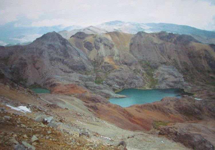
The Chonta mountain range (possibly from Aymara chunta prolonged, lengthened, Quechua chunta a kind of palm,) lies in the Huancavelica Region in the Andes of Peru. It extends between 12°37' and 13°07'S and 75°00' and 75°30'W for about 50 km. It is located in the Castrovirreyna Province and in the Huancavelica Province.
Contents
Map of Cordillera de Chonta, Peru
Mountains
Some of the highest mountains in the range are listed below:
References
Chonta mountain range Wikipedia(Text) CC BY-SA