
District Pashchimi Singhbhum Vehicle registration JH Local time Sunday 9:20 PM | Time zone IST (UTC+5:30) Elevation 479 m Population 3,949 (2001) | |
 | ||
Weather 25°C, Wind NE at 5 km/h, 42% Humidity | ||
Chiria is a census town in Pashchimi Singhbhum district in the state of Jharkhand, India. India 's largest iron ore mine with reserves of 2,000 million tonnes of iron ore is located here. The mine is operated by Steel Authority of India Limited.
Contents
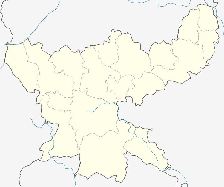
Map of Chiria, Jharkhand 833106
Geography
Chiria is located at 22.3°N 85.27°E / 22.3; 85.27. It has an average elevation of 479 metres (1571 feet).
Demographics
As of 2001 India census, Chiria had a population of 3,949. Males constitute 51% of the population and females 49%. Chiria has an average literacy rate of 57%, lower than the national average of 59.5%; with male literacy of 68% and female literacy of 45%. 15% of the population is under 6 years of age. The local inhabitants are known as Ho people.
References
Chiria Wikipedia(Text) CC BY-SA