
Length 0.4 km (0.25 mi) | Archipelago South Shetland Islands Population Uninhabited | |
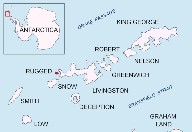 | ||
Chiprovtsi Point (Bulgarian: нос Чипровци, ‘Nos Chiprovtsi’ \'nos 'chi-prov-tsi) is a point projecting 400 m (440 yd) northwestwards from the north coast of Rugged Island off the west coast of Byers Peninsula of Livingston Island in the South Shetland Islands, Antarctica, and forming the east side of the entrance to Nishava Cove. It is extended further 400 m (440 yd) northwestwards by the group of Chiprovtsi Islets, which are centred at 62°36′52″S 61°15′49″W and named in association with the point.
Contents
Map of Chiprovtsi Point, Antarctica
The point is named after the town of Chiprovtsi in northwestern Bulgaria.
Location
Chiprovtsi Point is located at 62°37′01.3″S 61°15′52.3″W, which is 1.16 km (0.72 mi) west of Simitli Point, 1.75 km (1.09 mi) east-southeast of Cape Sheffield, and 3.9 km southwest of Start Point, Livingston Island. British mapping in 1968, Spanish in 1992 and Bulgarian in 2009.