
Established 1999 Time zone ACST (UTC+9:30) Founded 1999 | Postcode(s) 5573 State electorate(s) Goyder Postal code 5573 | |
 | ||
Location 119 km (74 mi) north-west of Adelaide city centre | ||
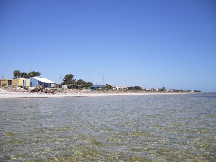
Chinaman Wells is a locality in the Australian state of South Australia located on the west coast of Yorke Peninsula immediately adjoining Spencer Gulf about 119 kilometres (74 mi) north-west of the Adelaide city centre.
Map of Chinaman Wells SA 5573, Australia
Its boundaries were created in May 1999 for the “long established name” which was originally used for a shack site now within the locality. The locality also includes the Holywood Shack Area.
As of 2016, the majority land use within the locality is conservation zoned in respect to close proximity to the coastline with Spencer Gulf. A secondary use is a strip of land overlooking the coastline which is zoned for residential use.
Chinaman Wells is located within the federal division of Grey, the state electoral district of Goyder and the local government area of the Yorke Peninsula Council.